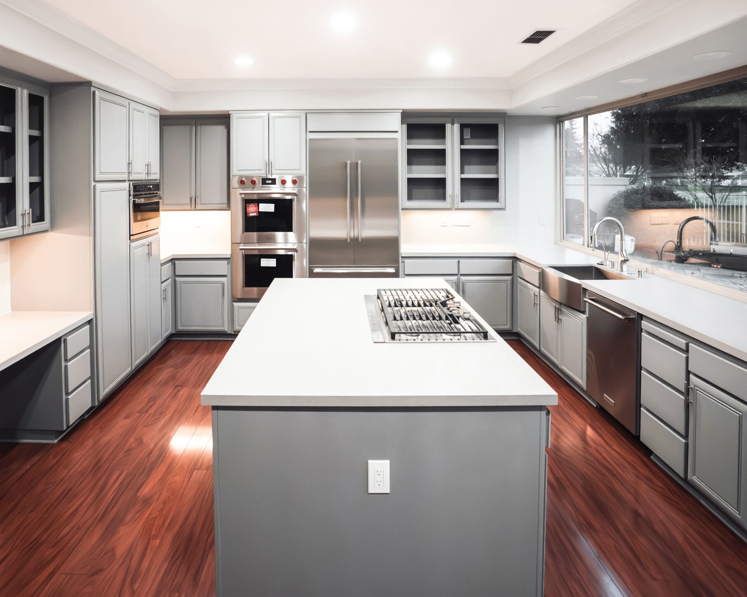
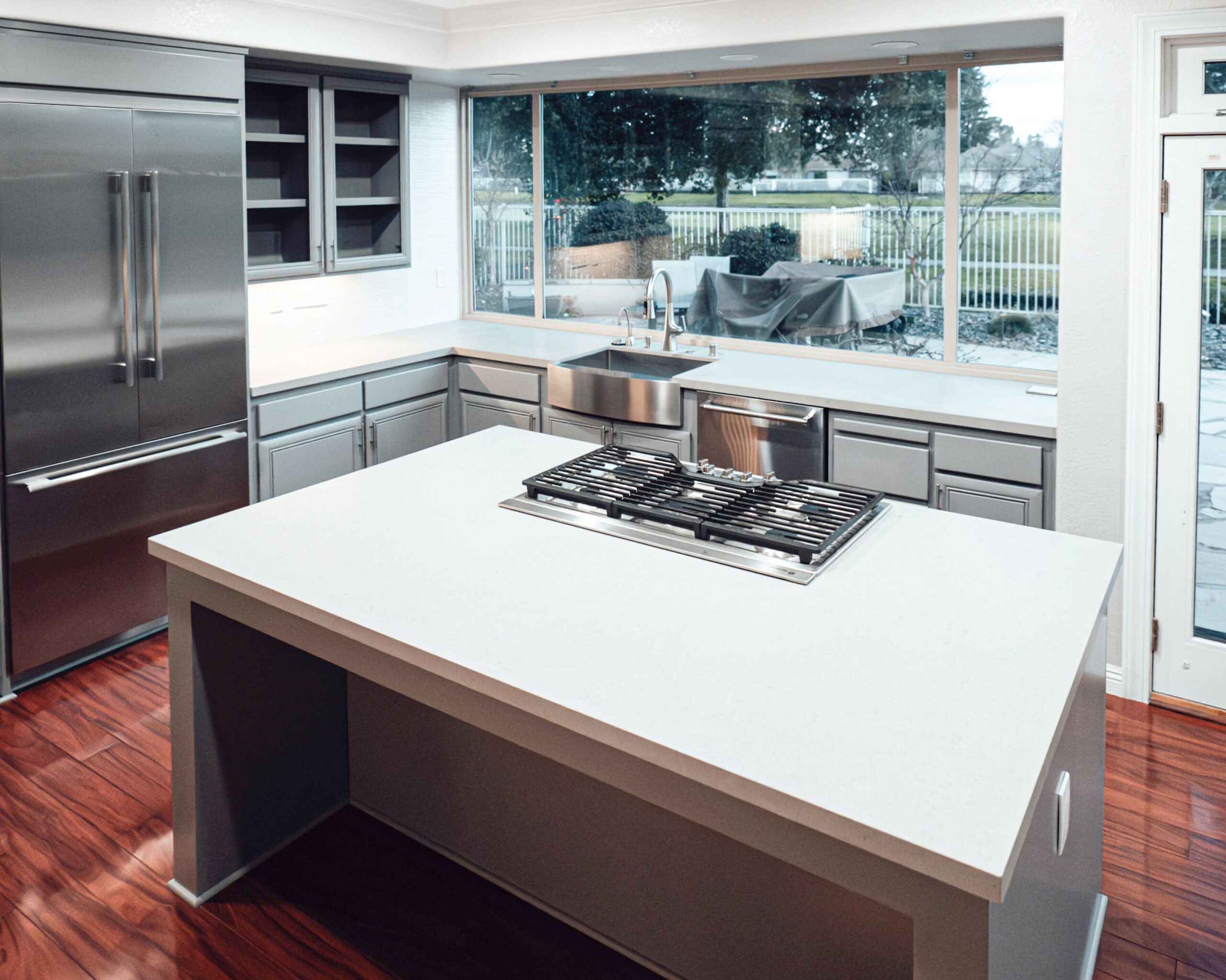
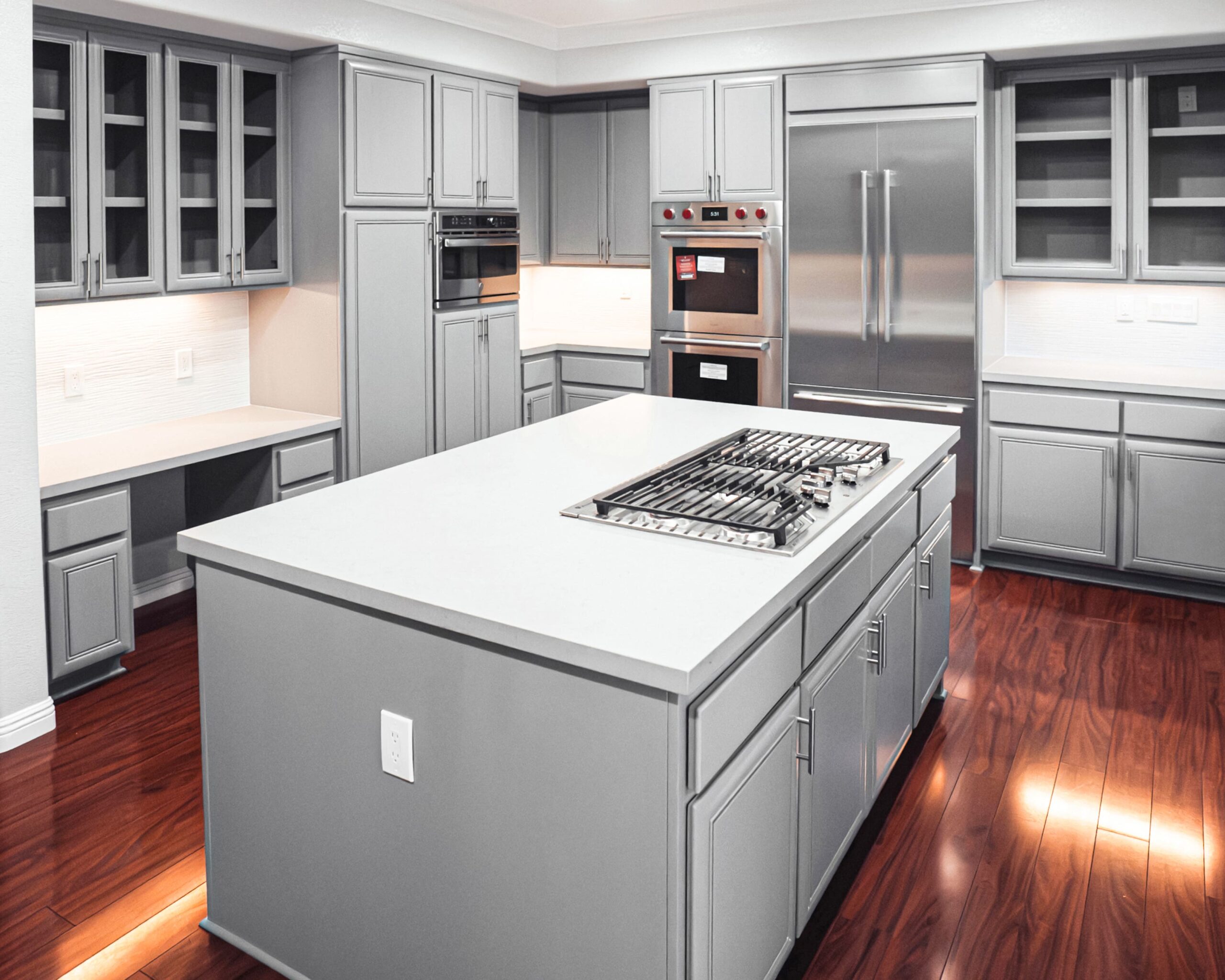
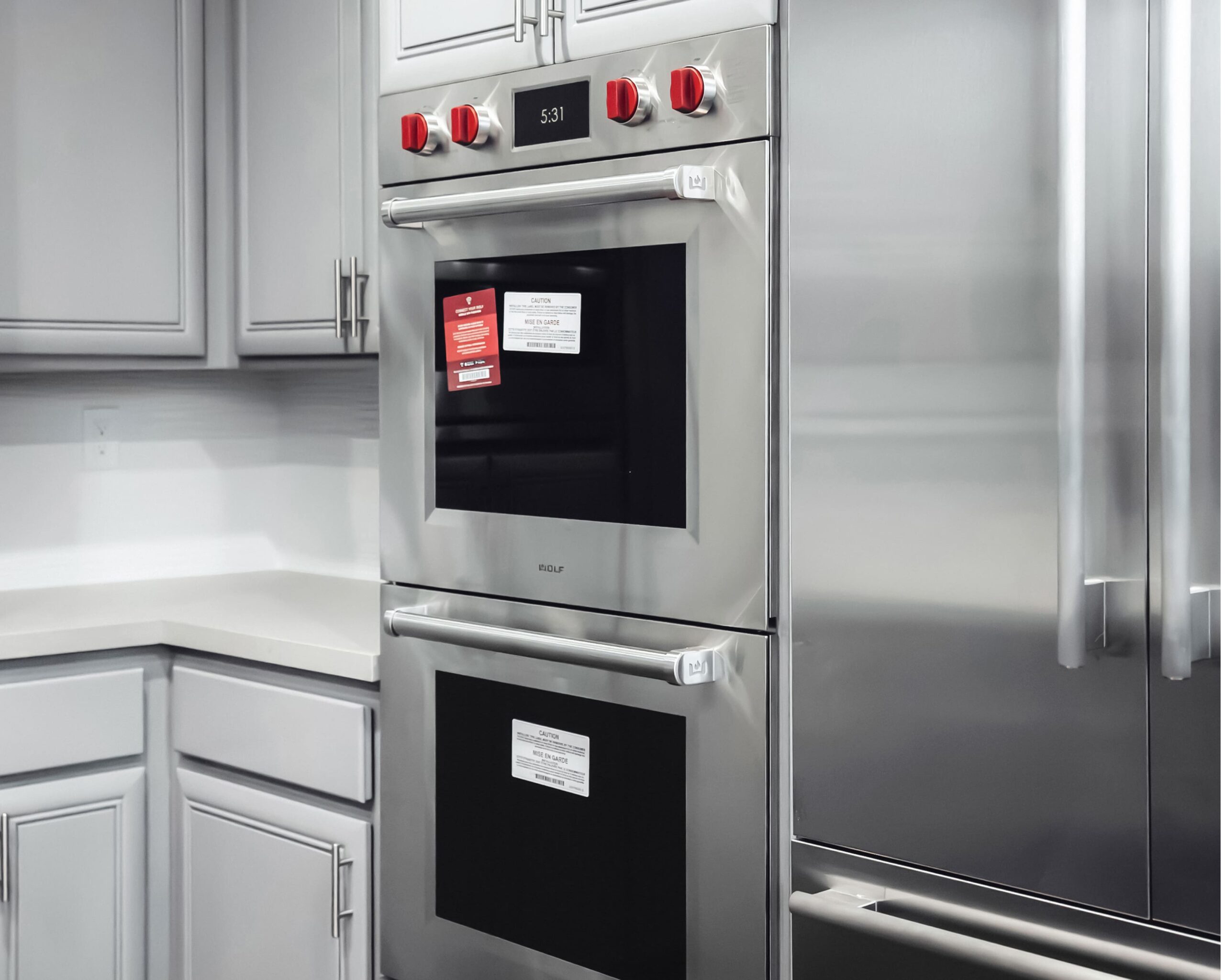
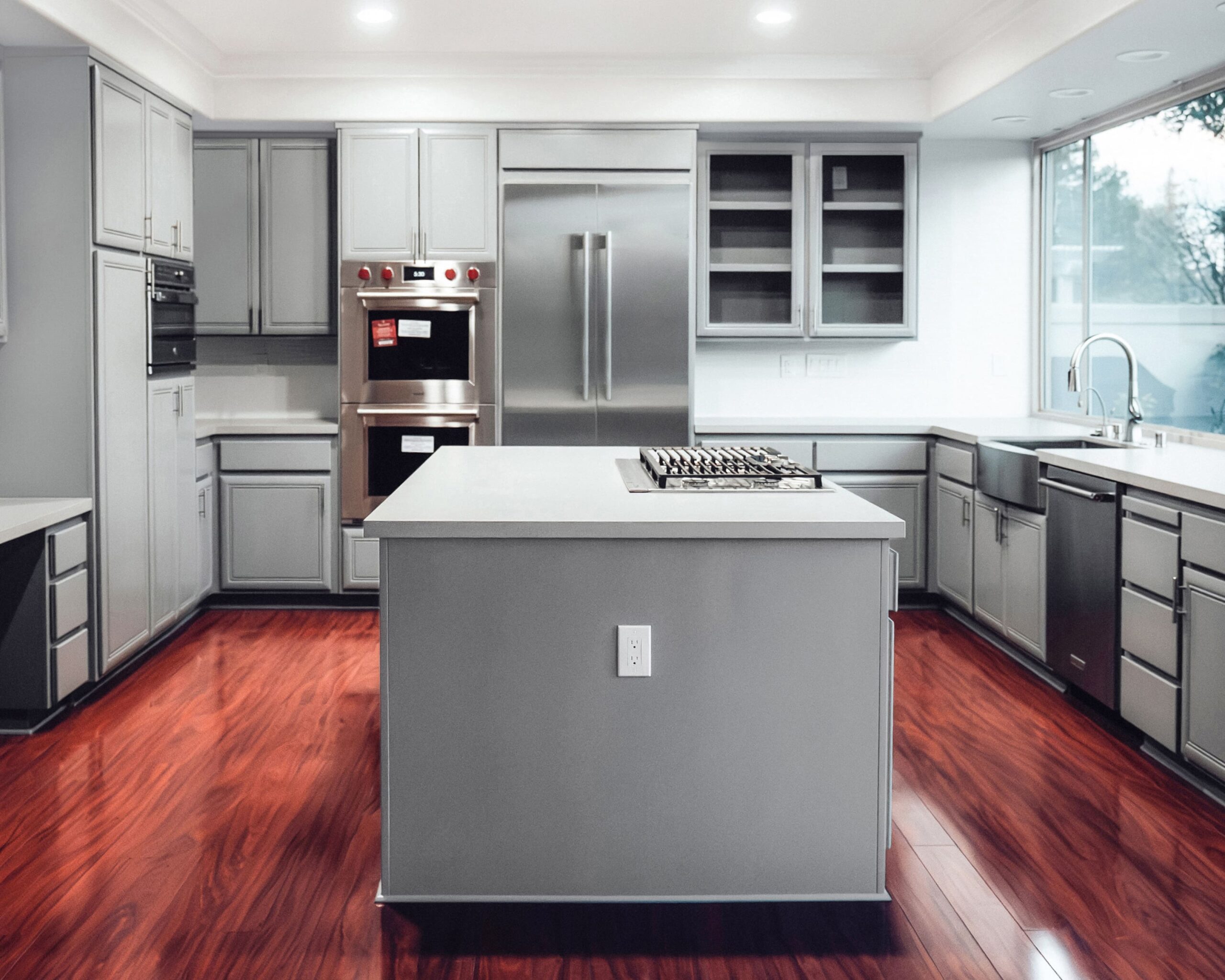
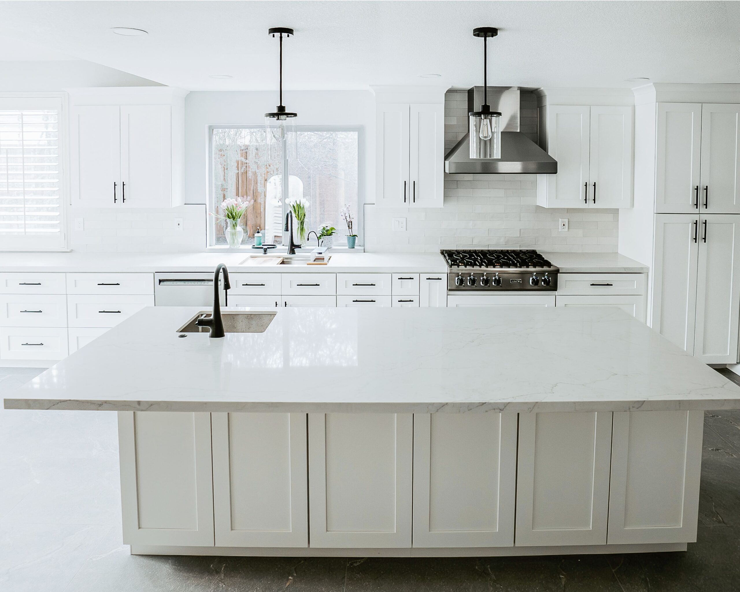
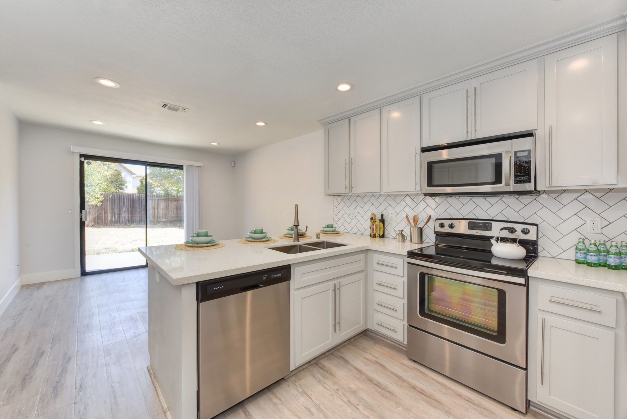
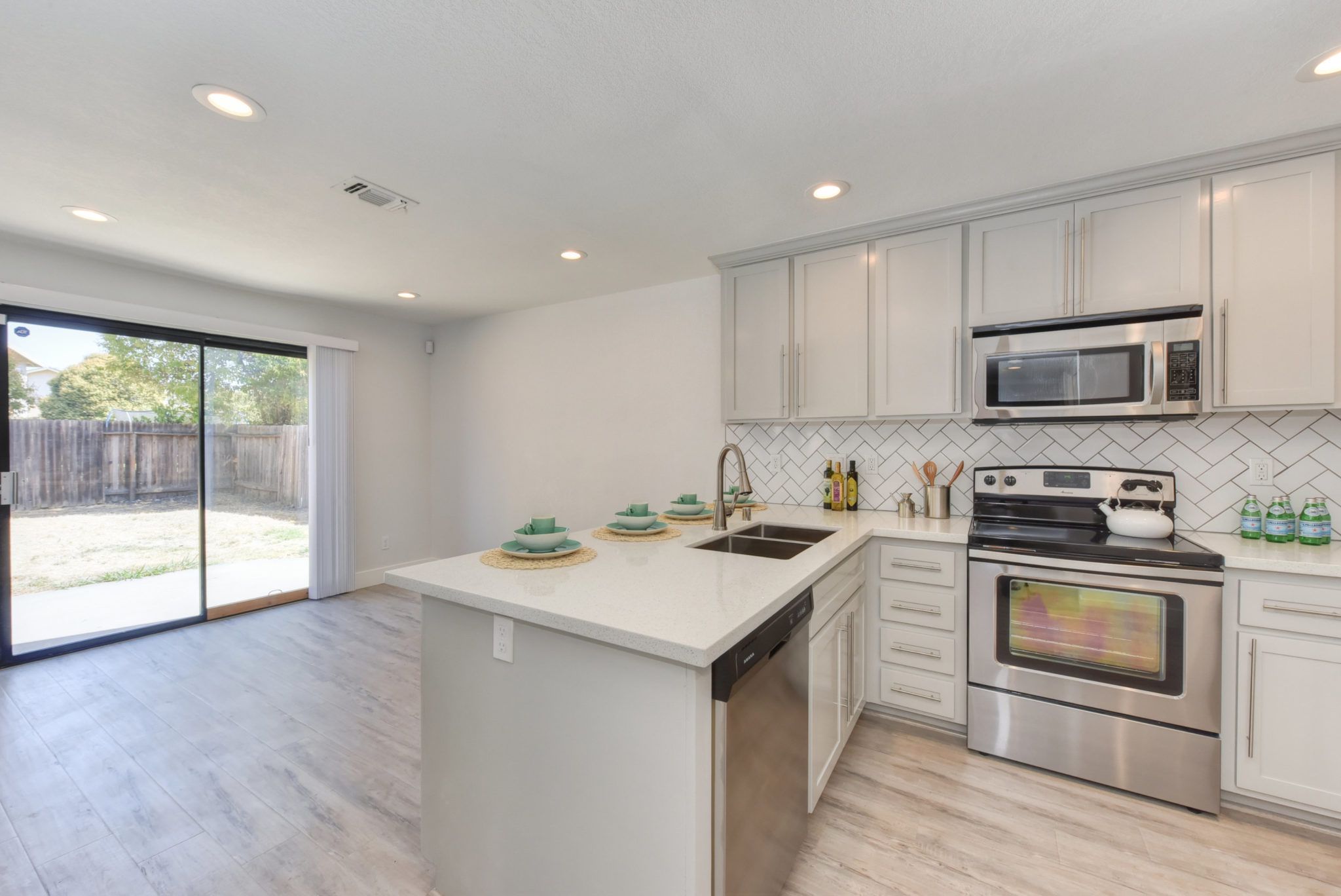
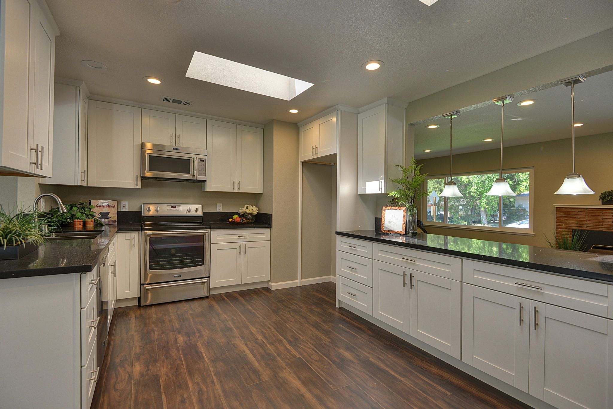
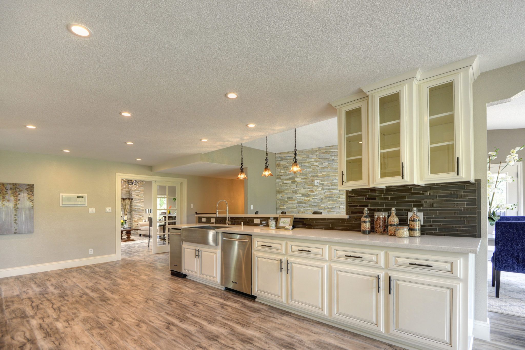
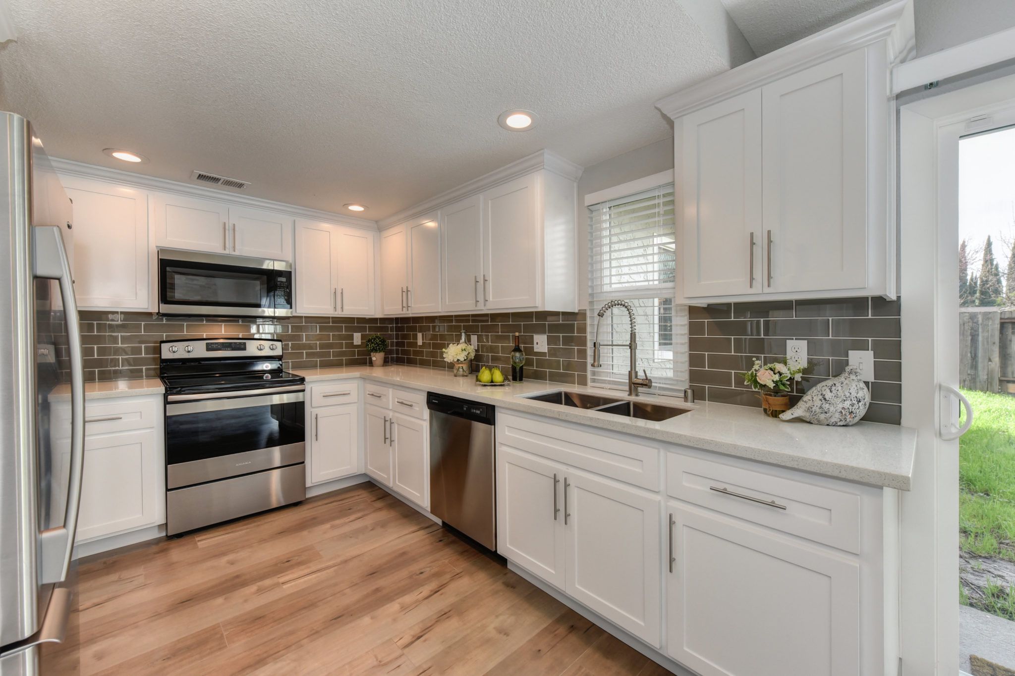
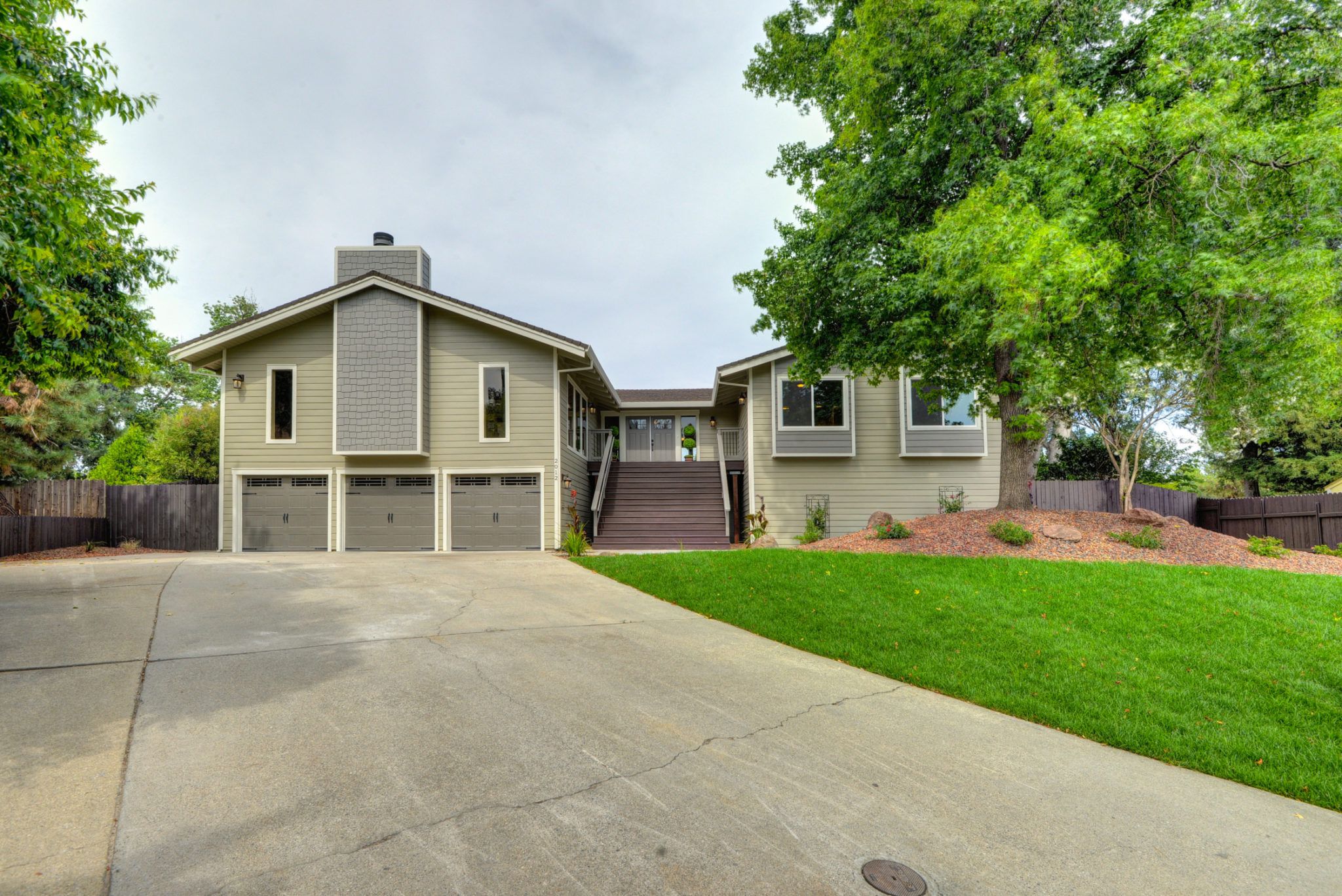
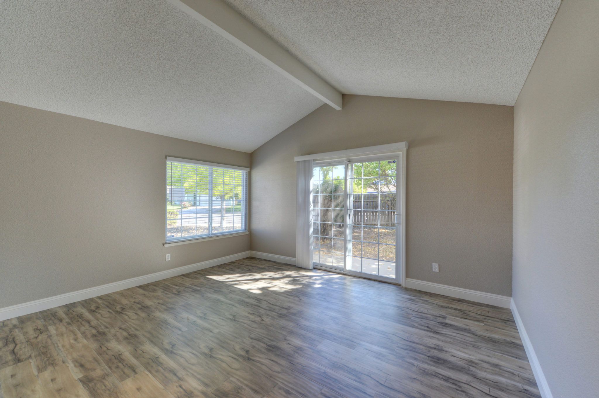
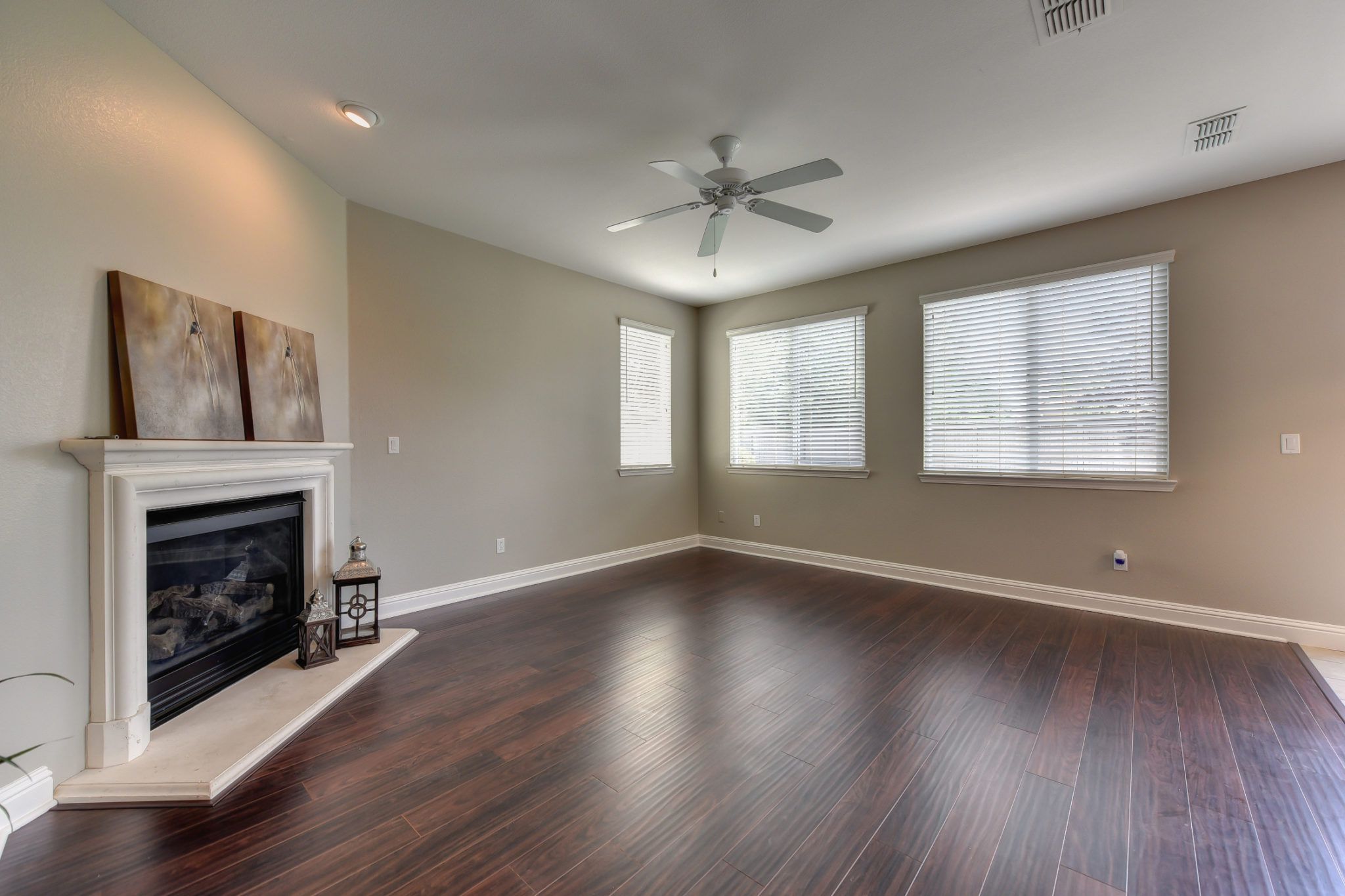
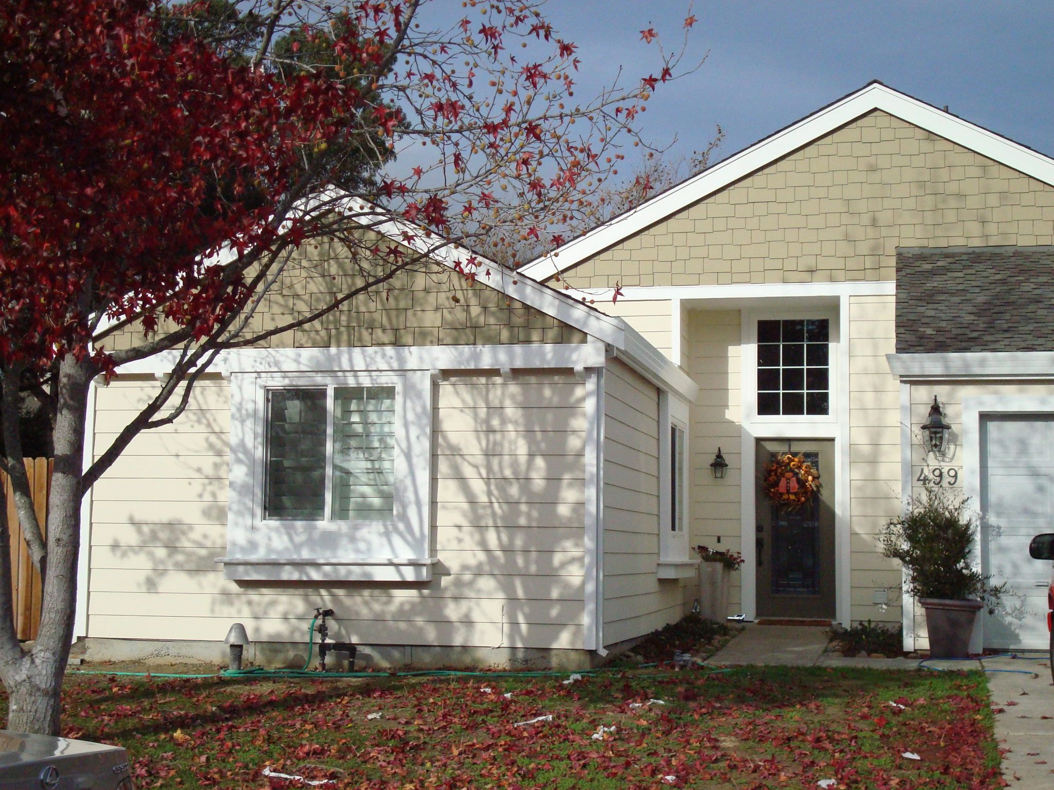
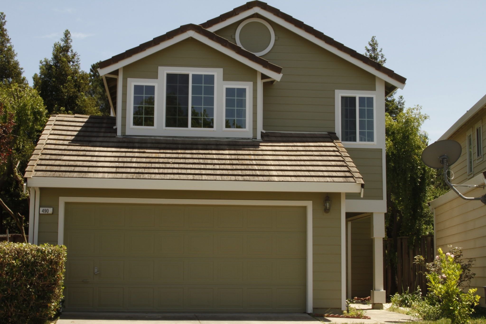
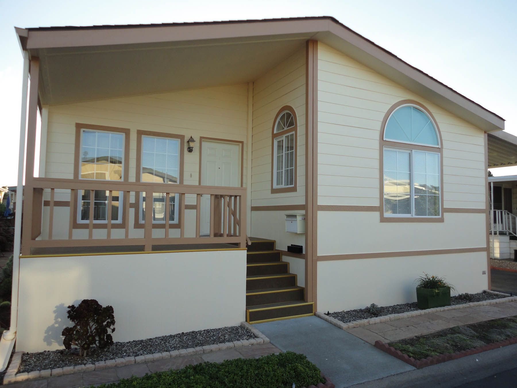
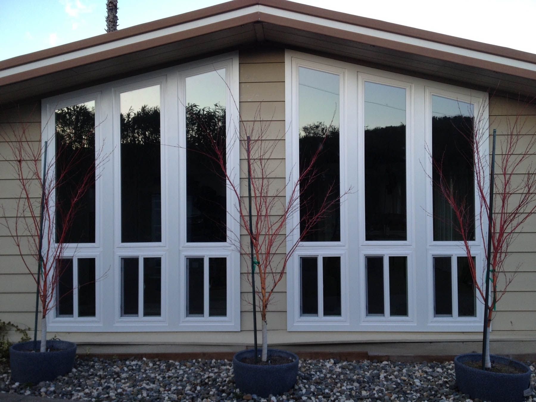
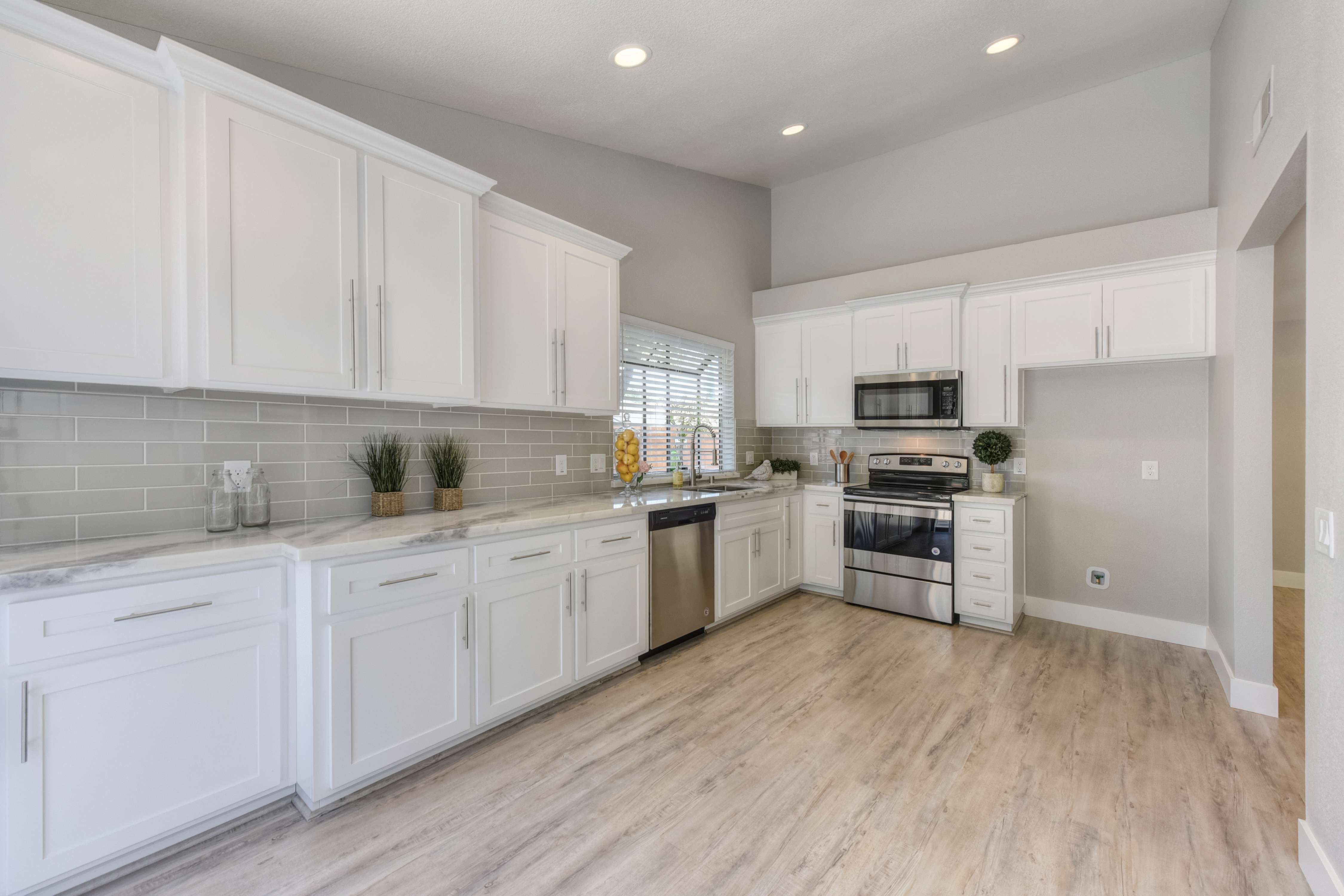
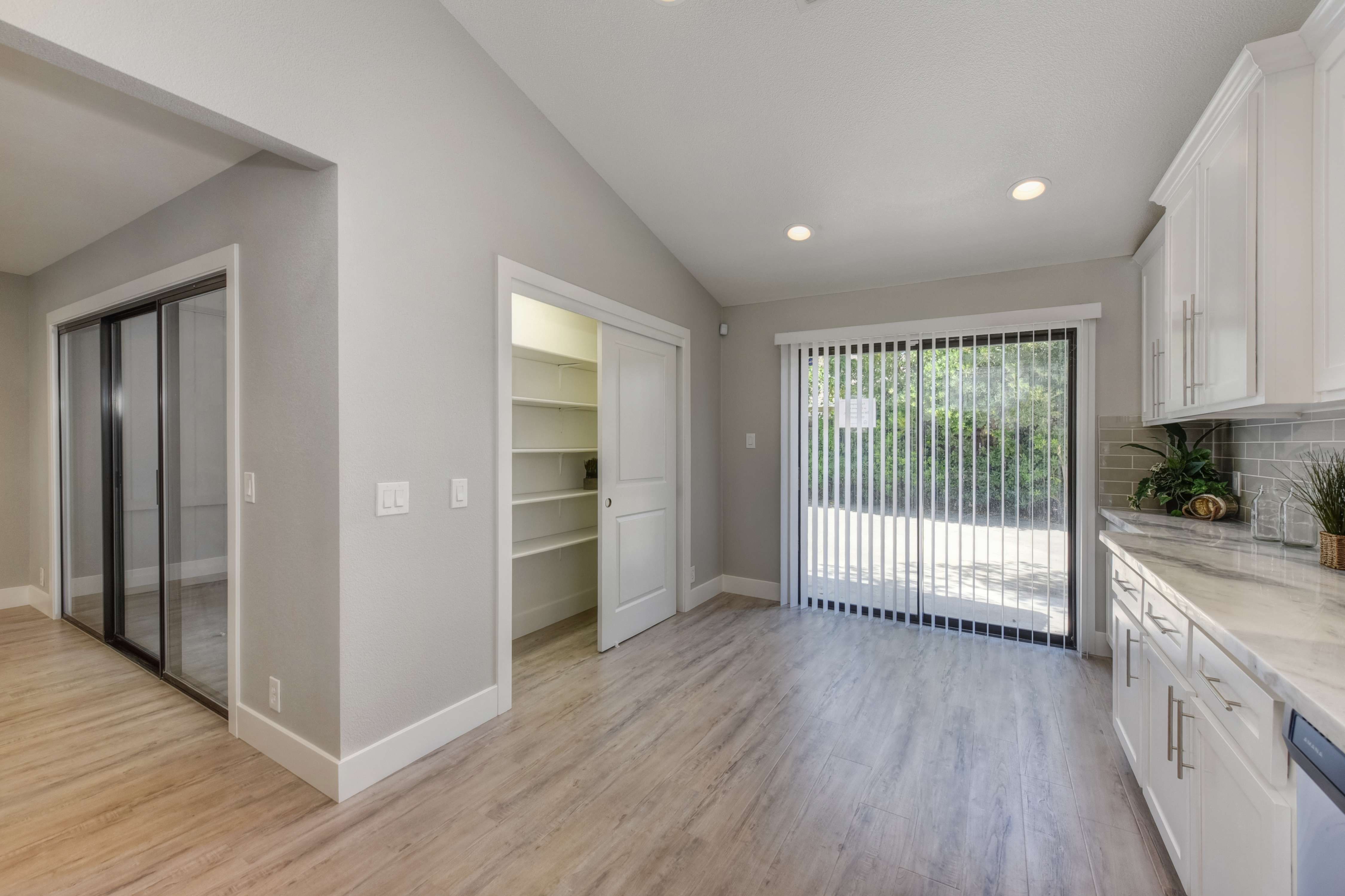
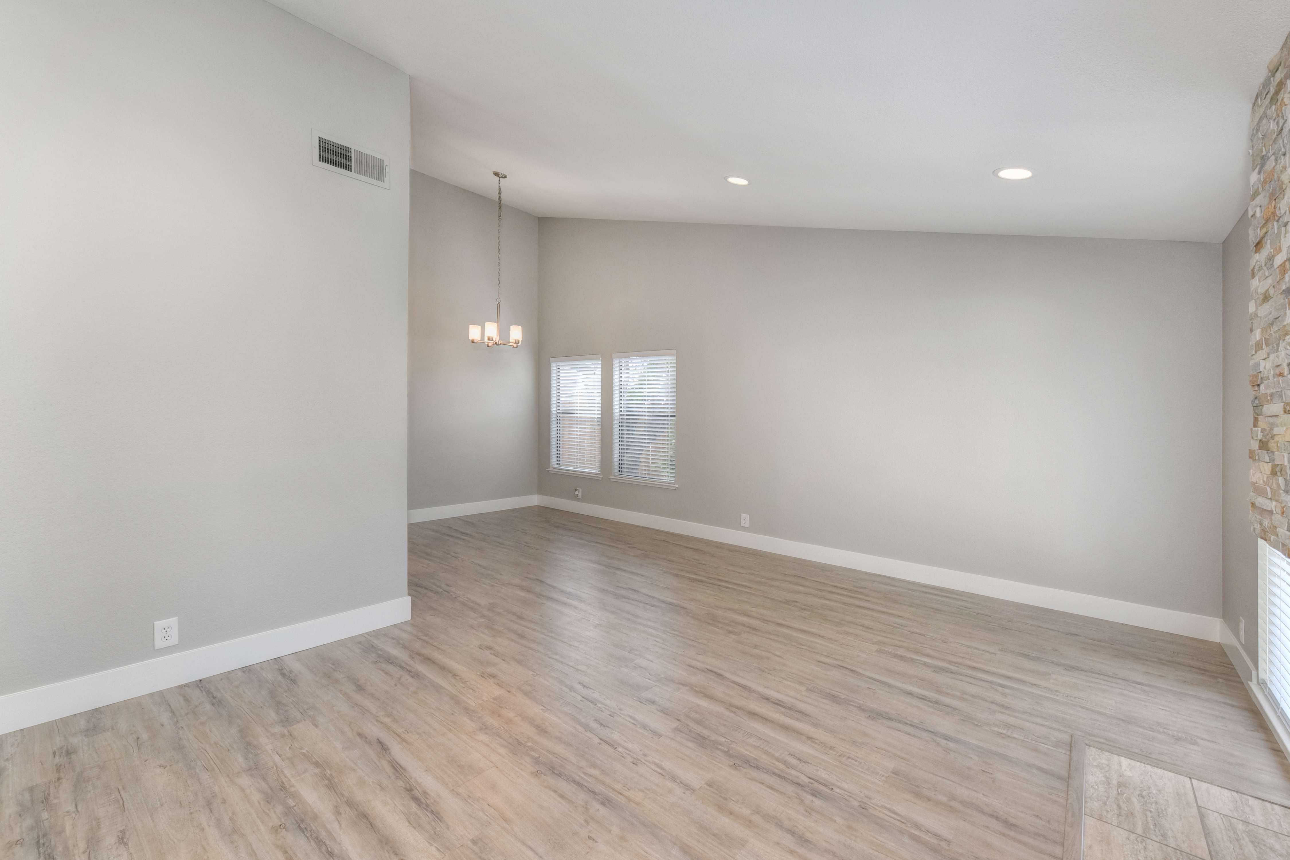
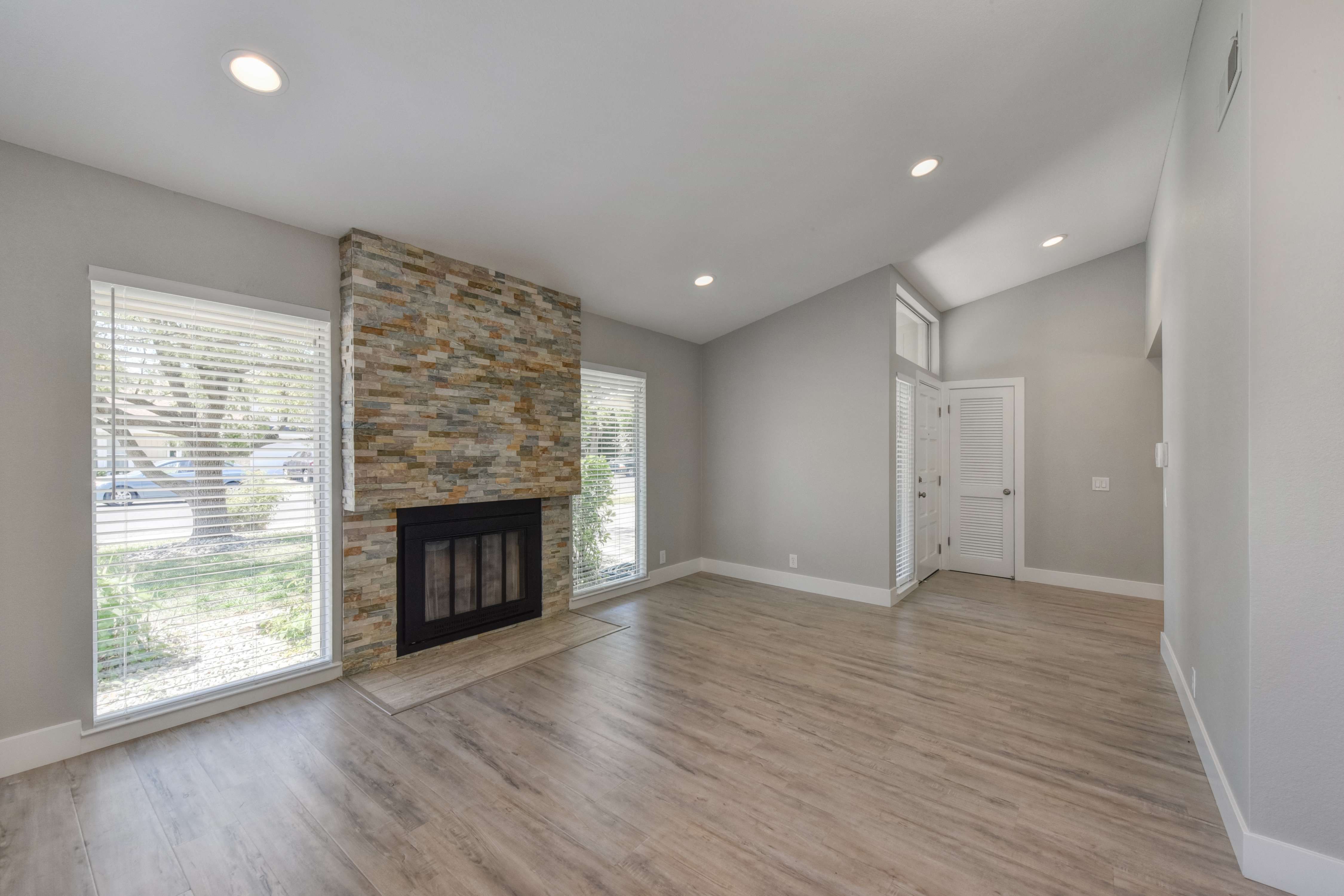
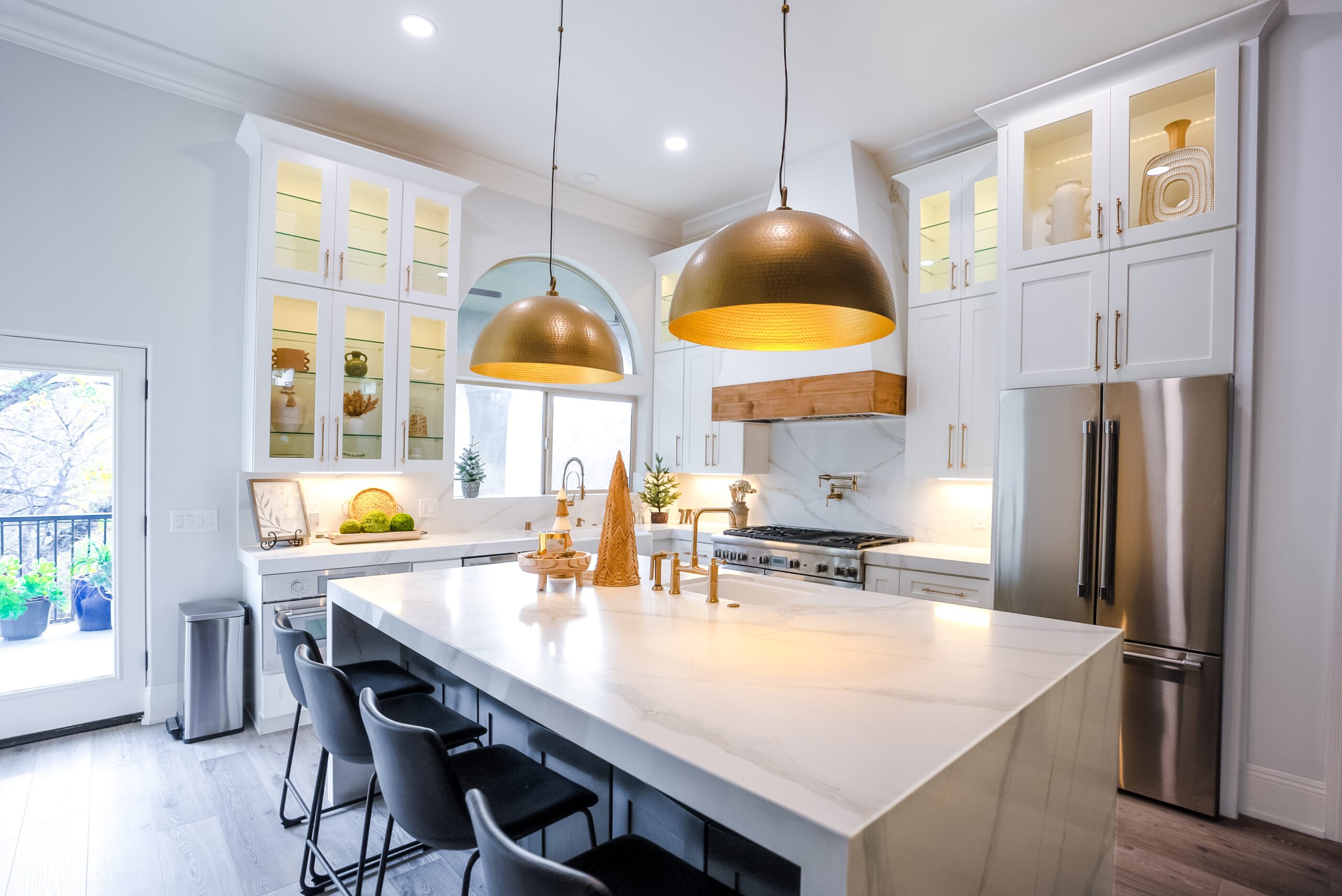
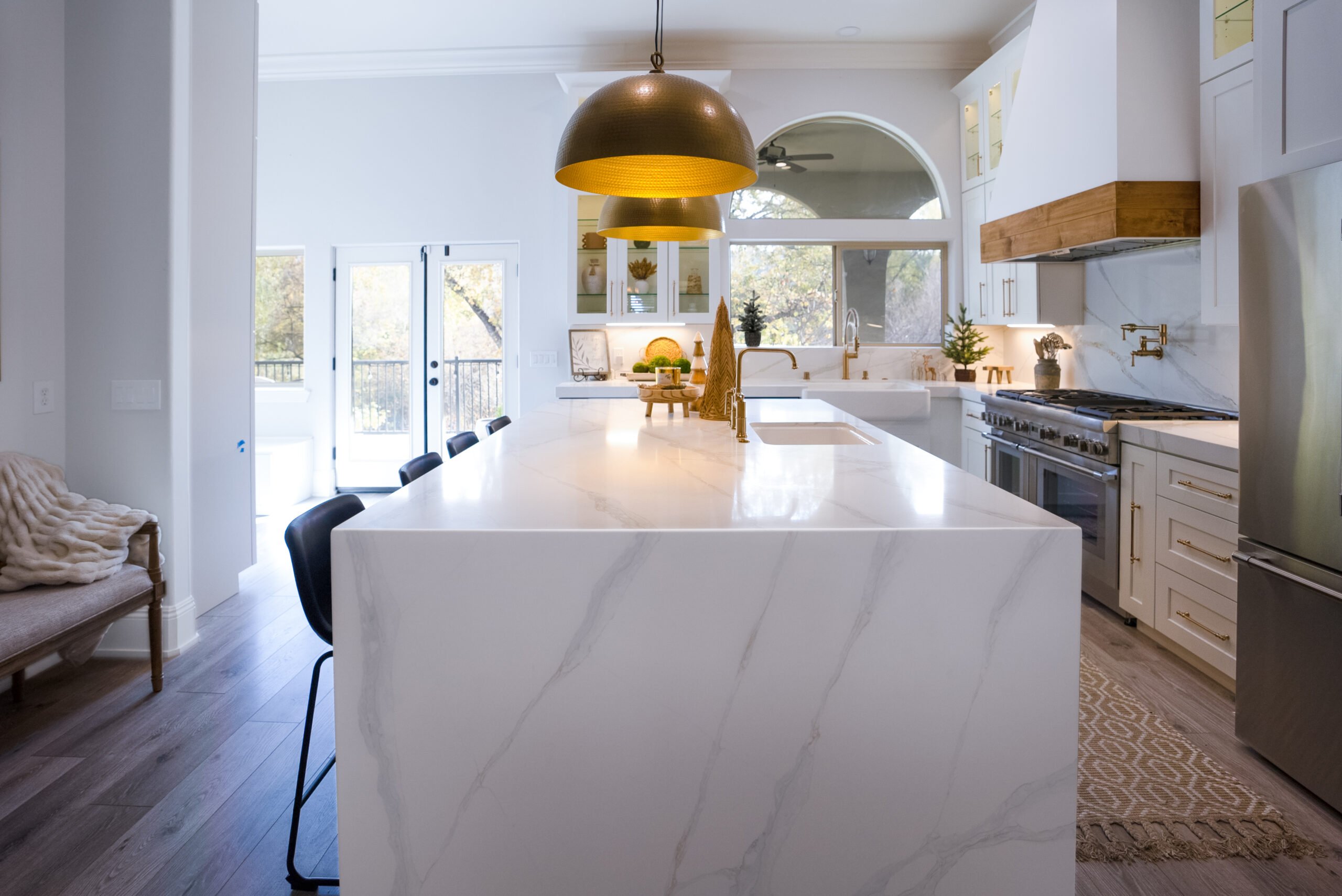
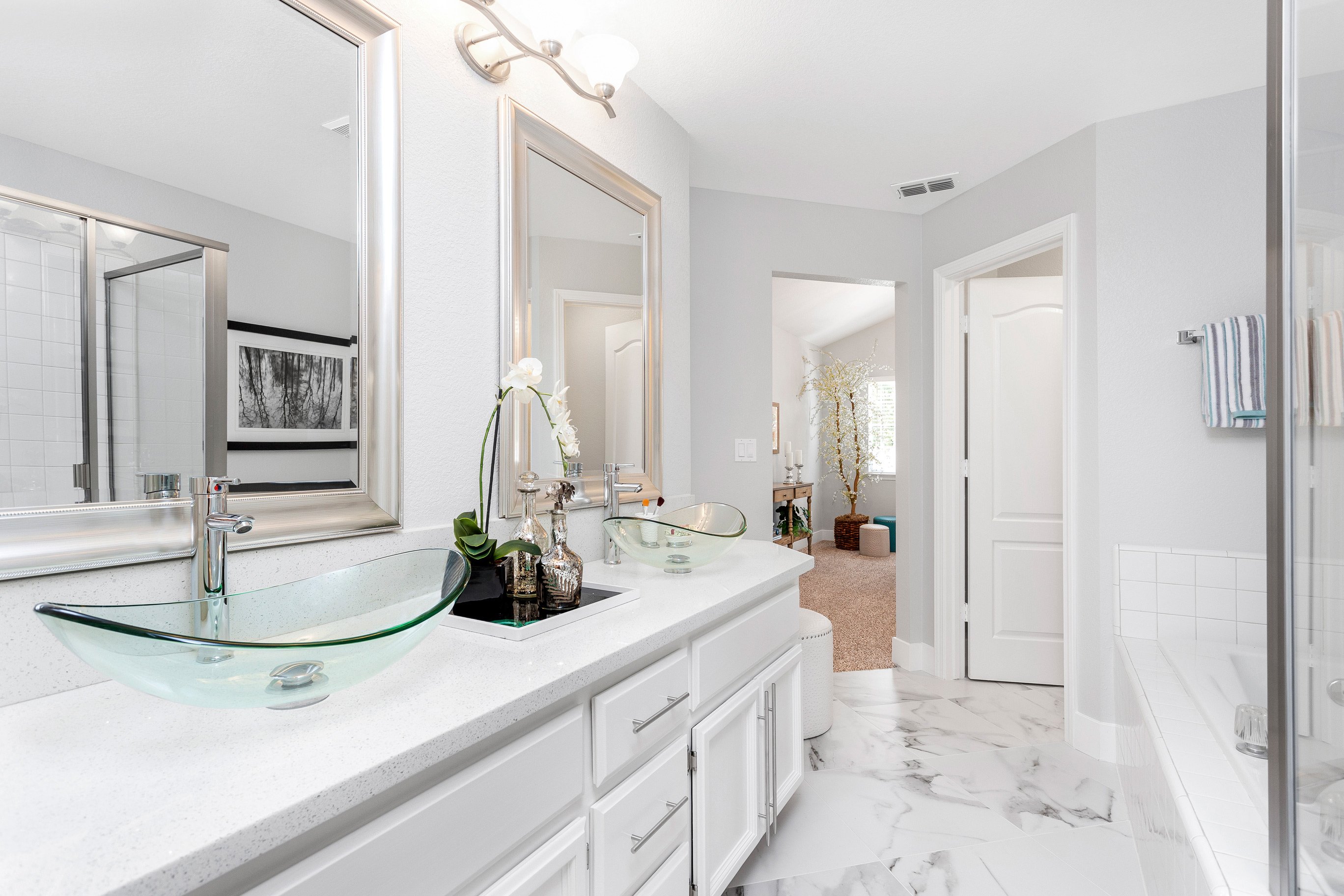
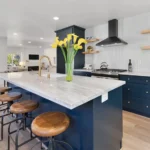
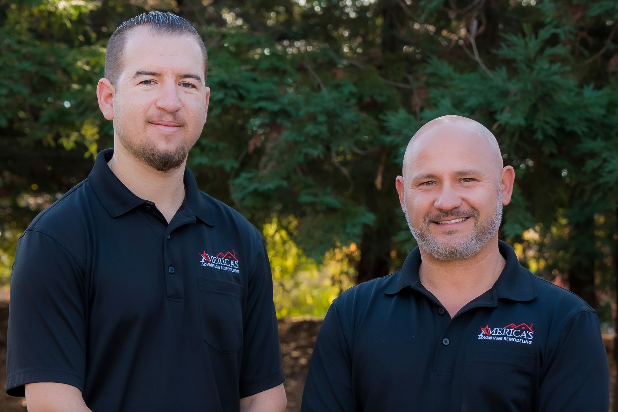
America’s Advantage Remodeling
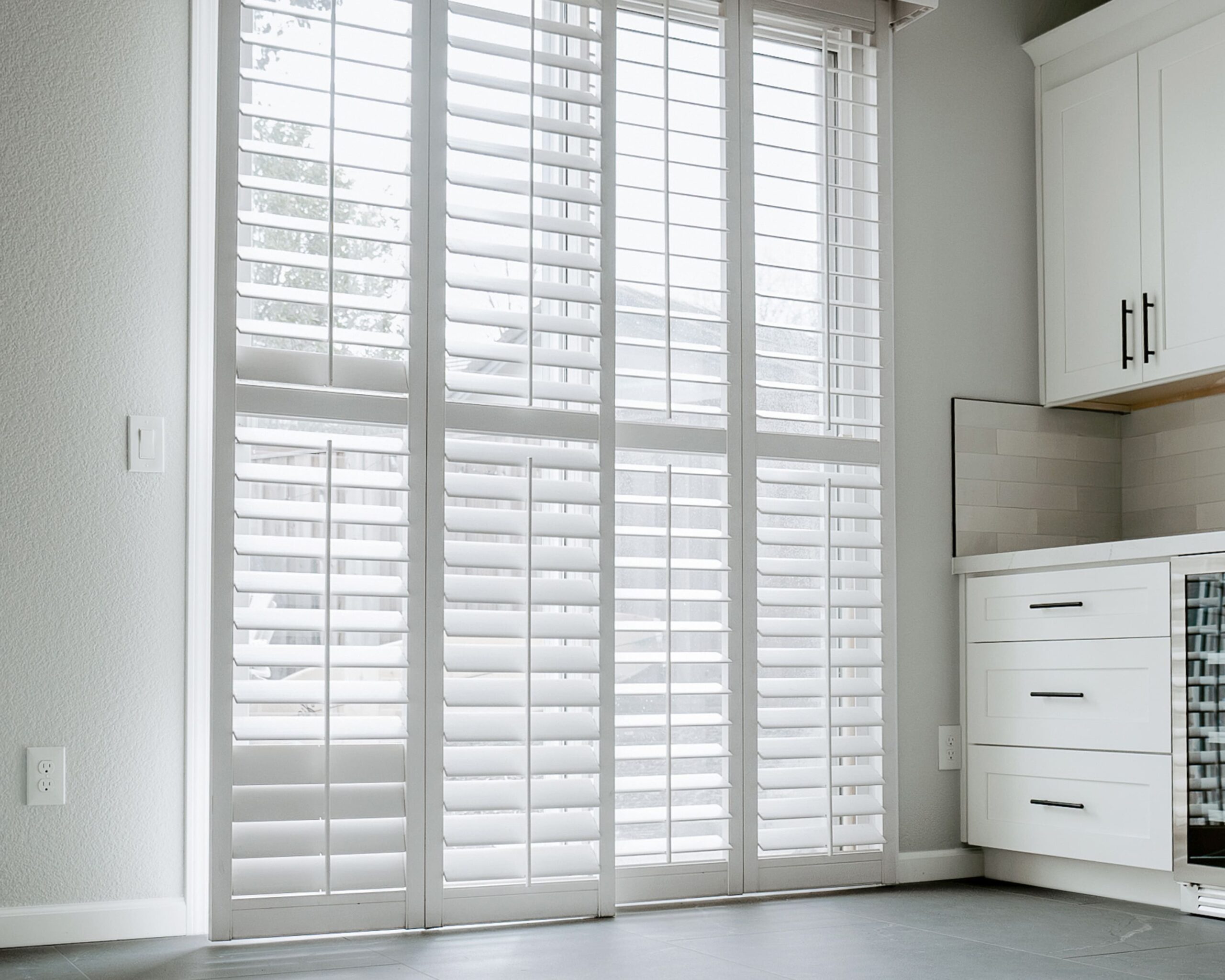
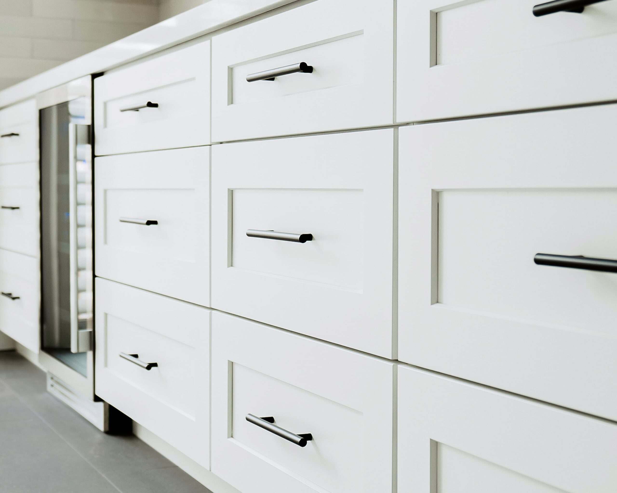
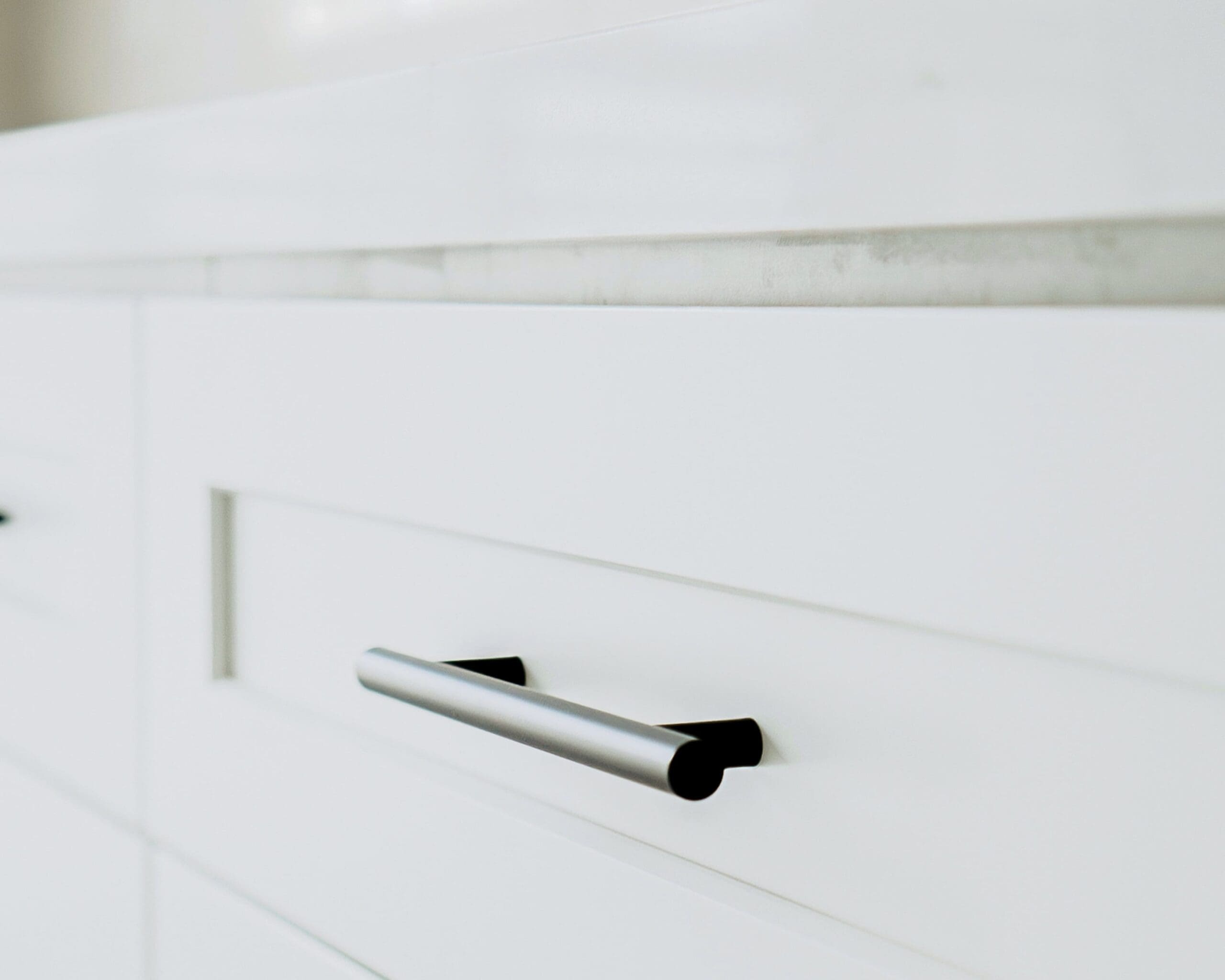
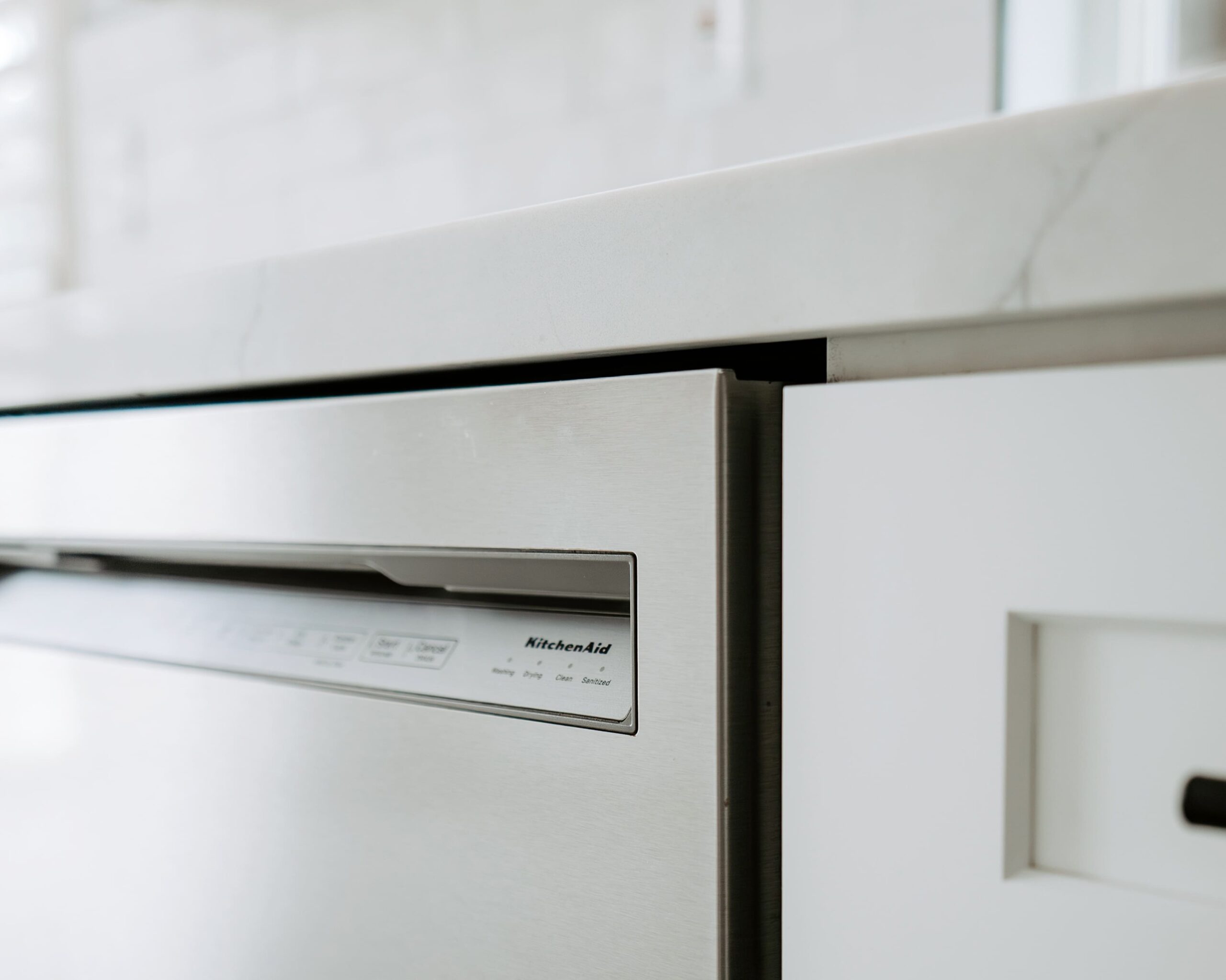
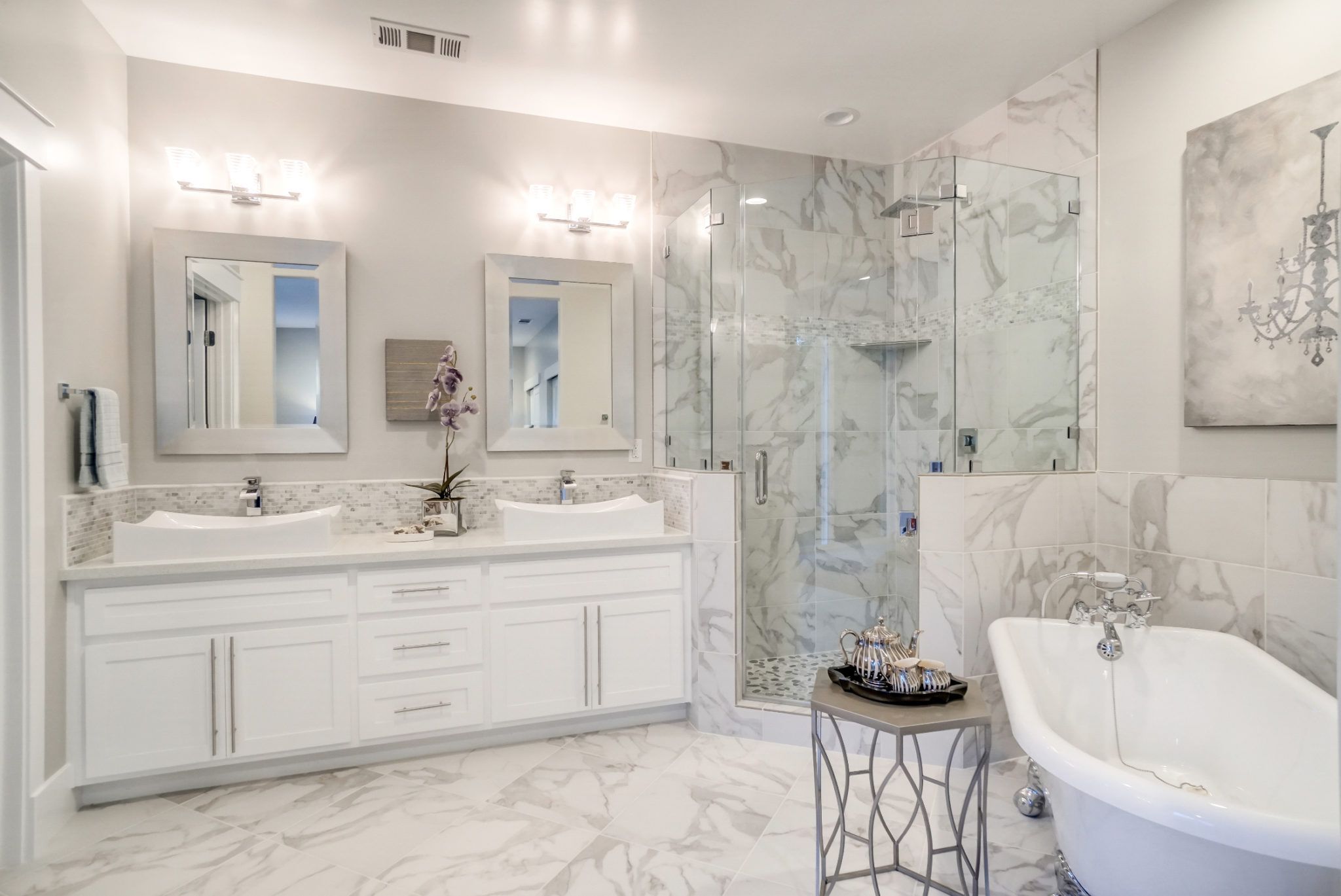
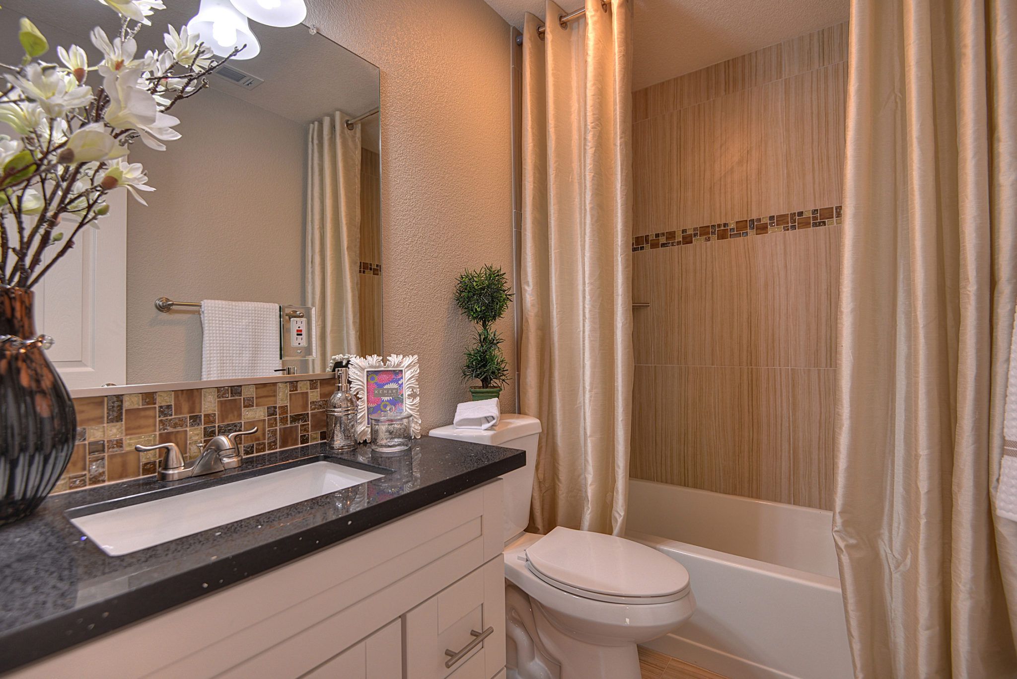
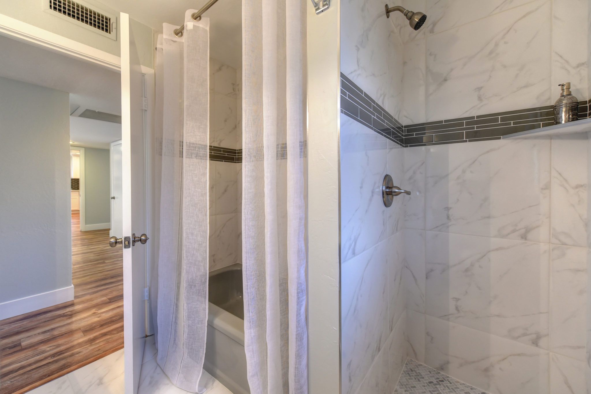
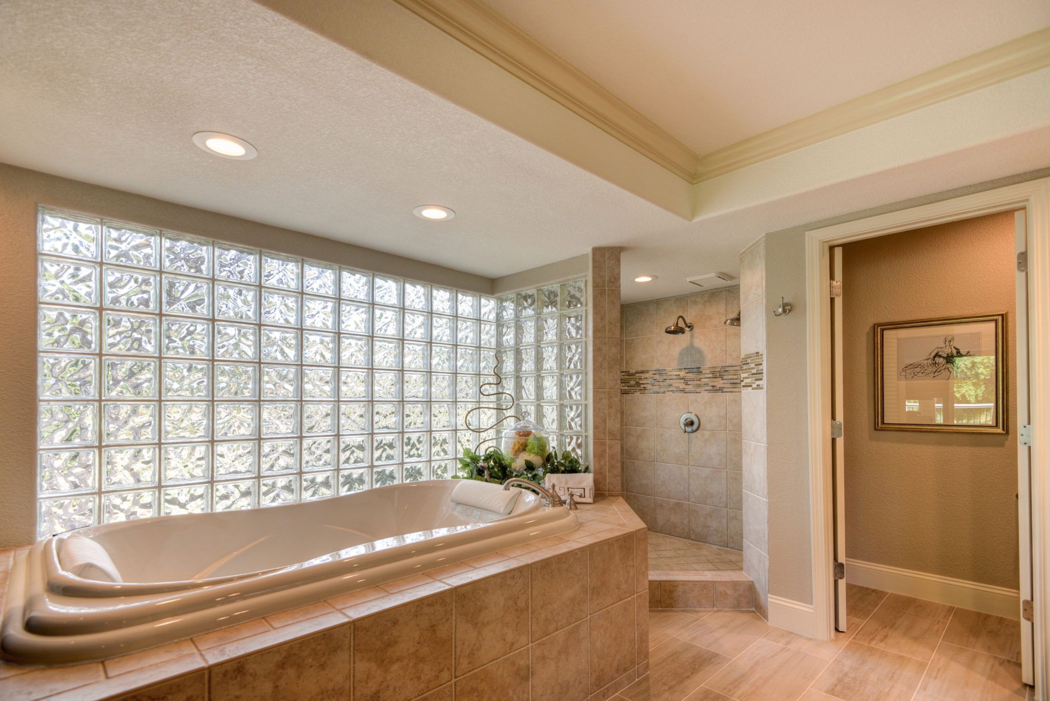
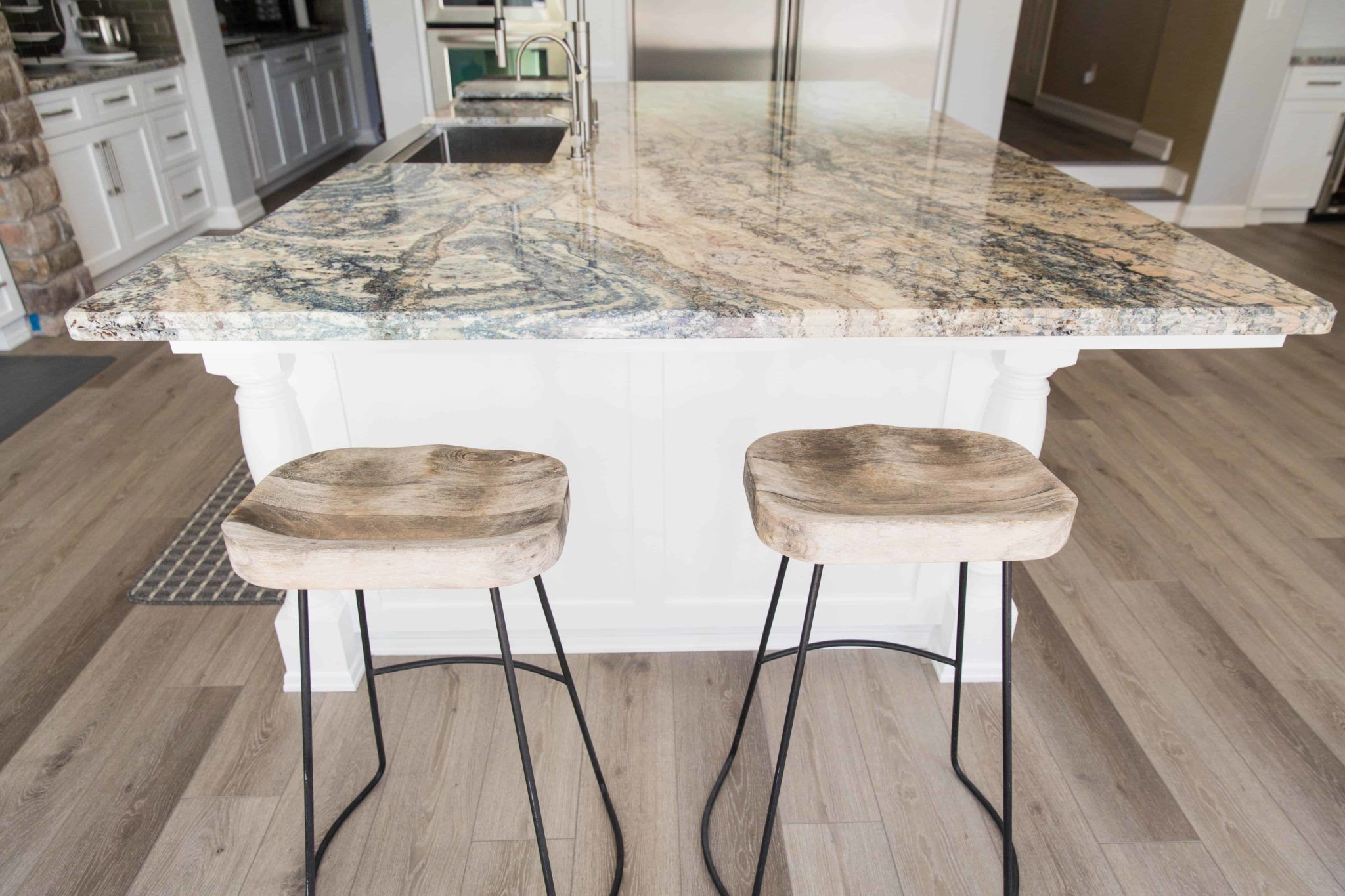
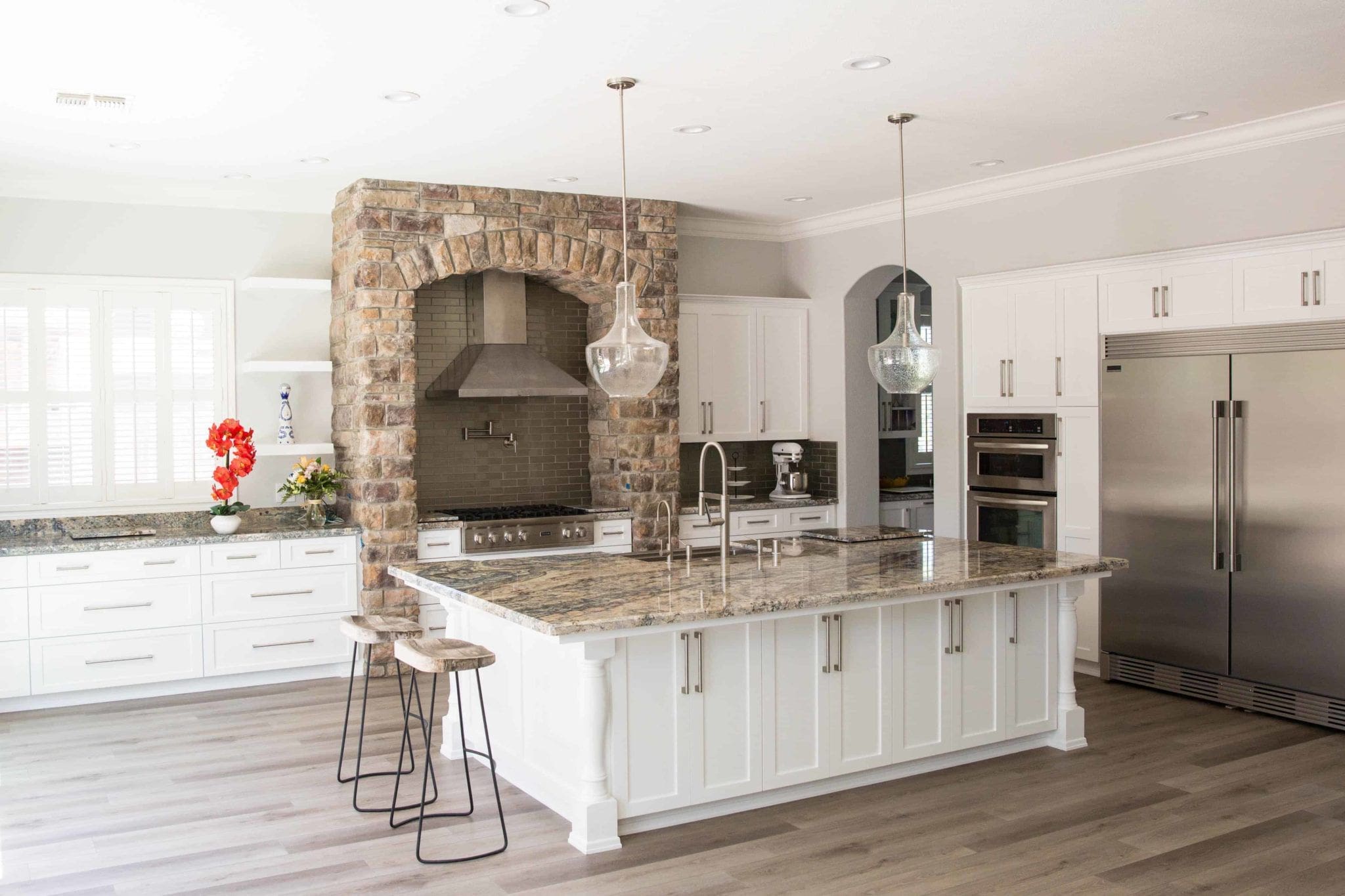
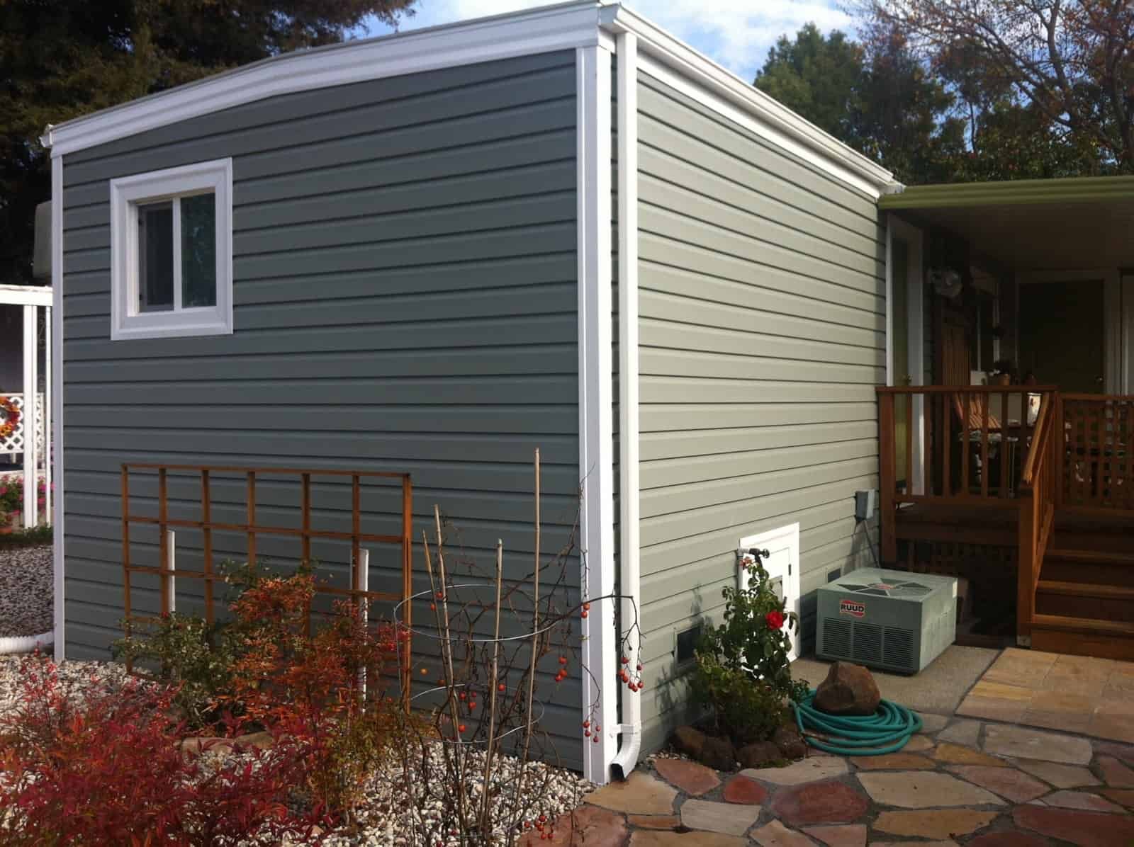
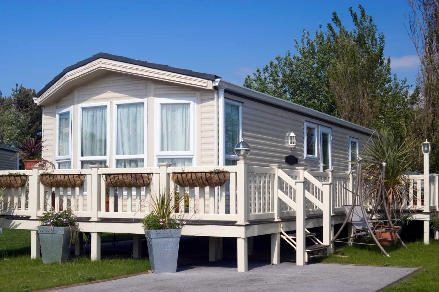
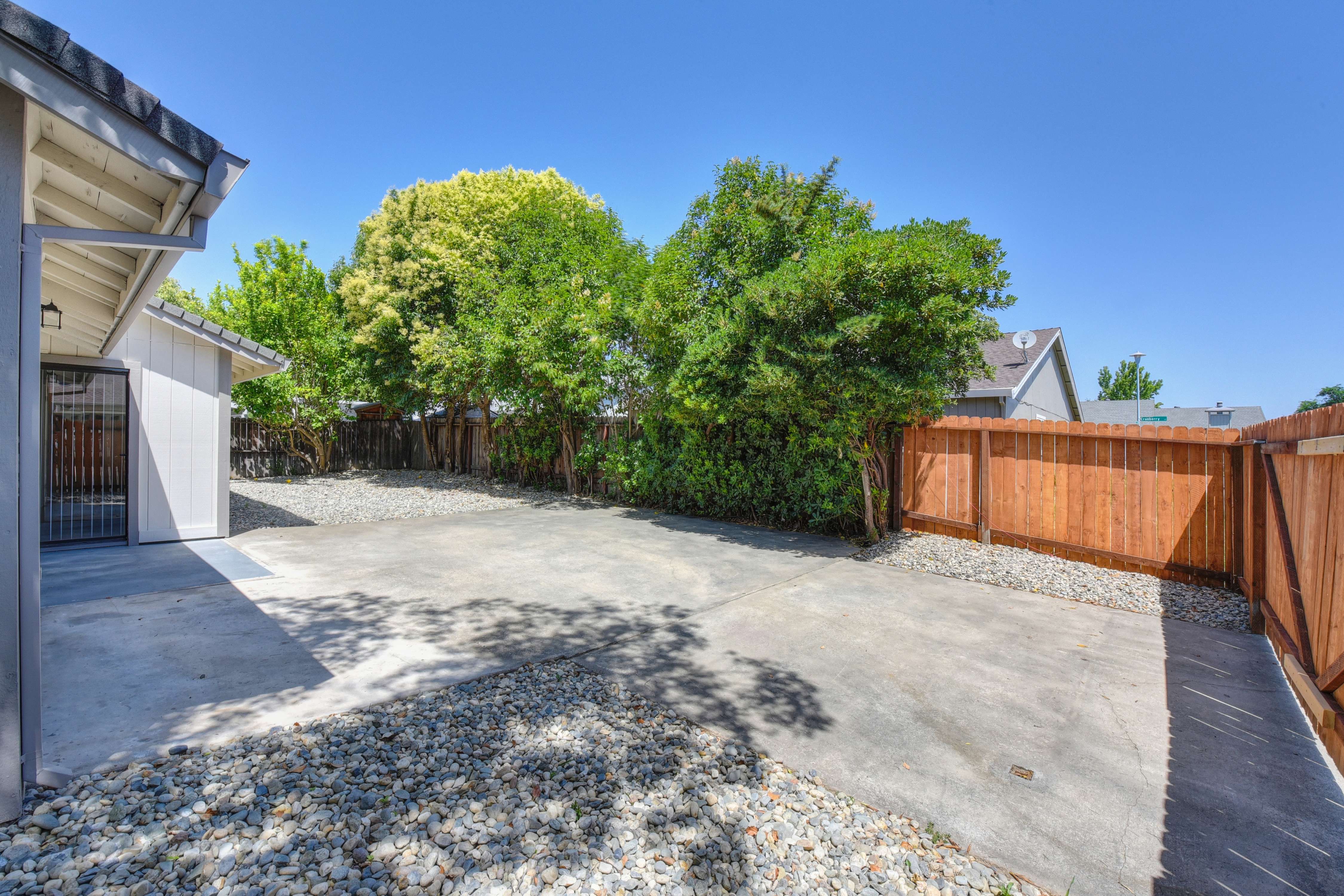
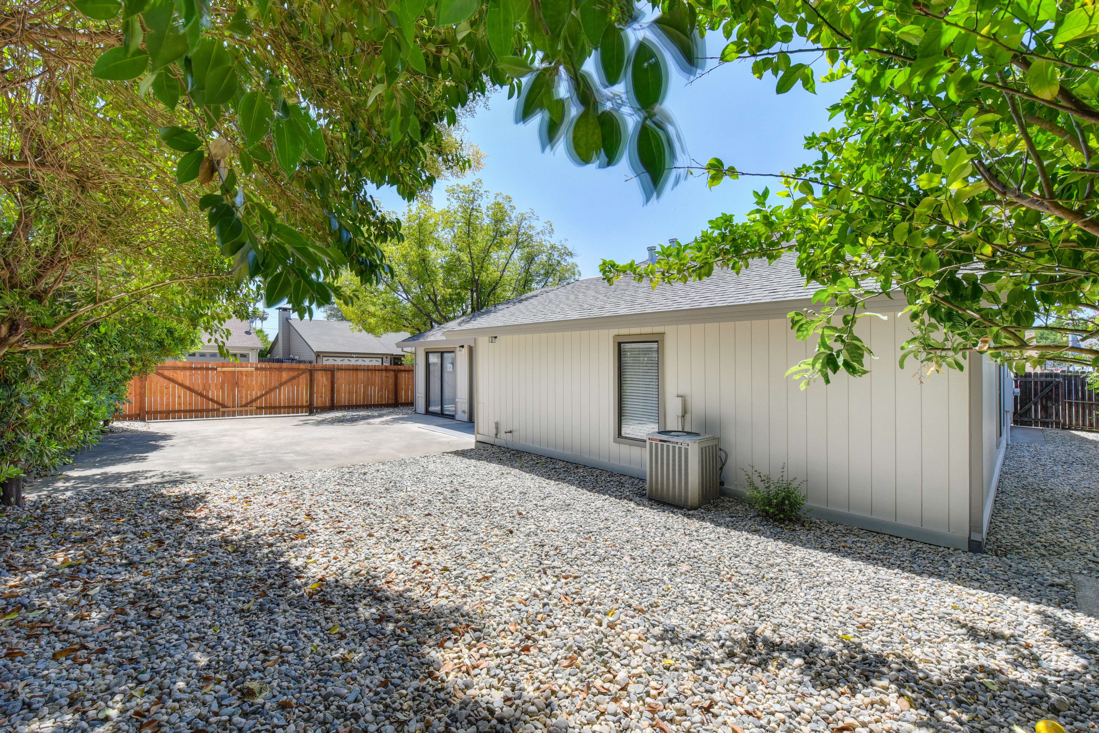
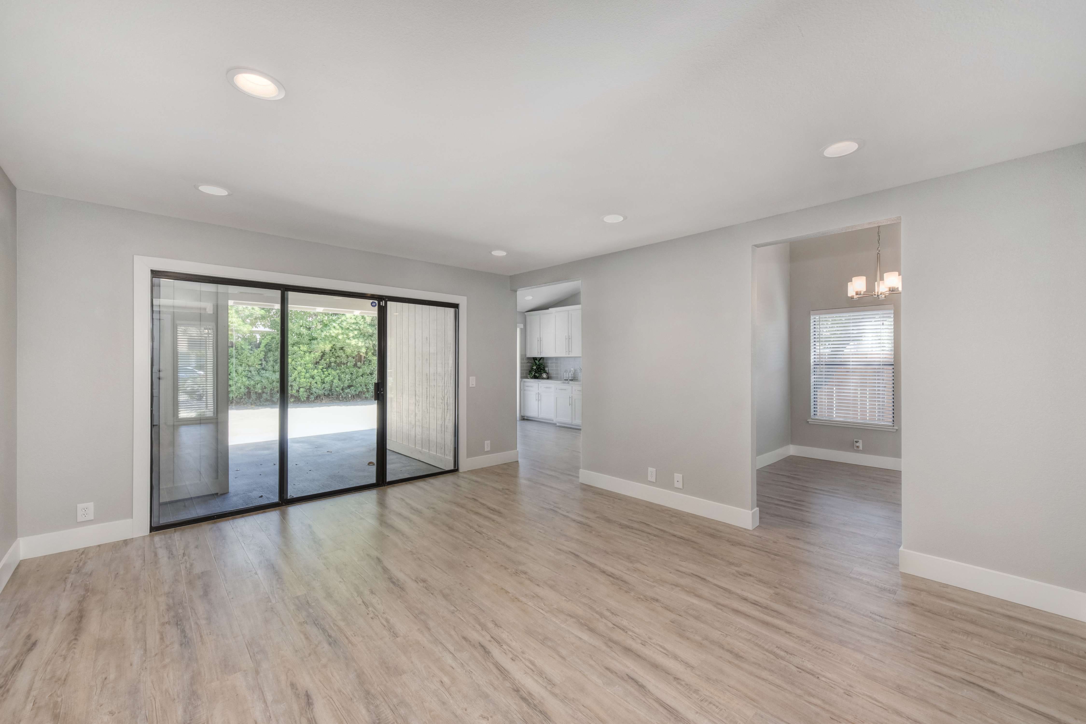
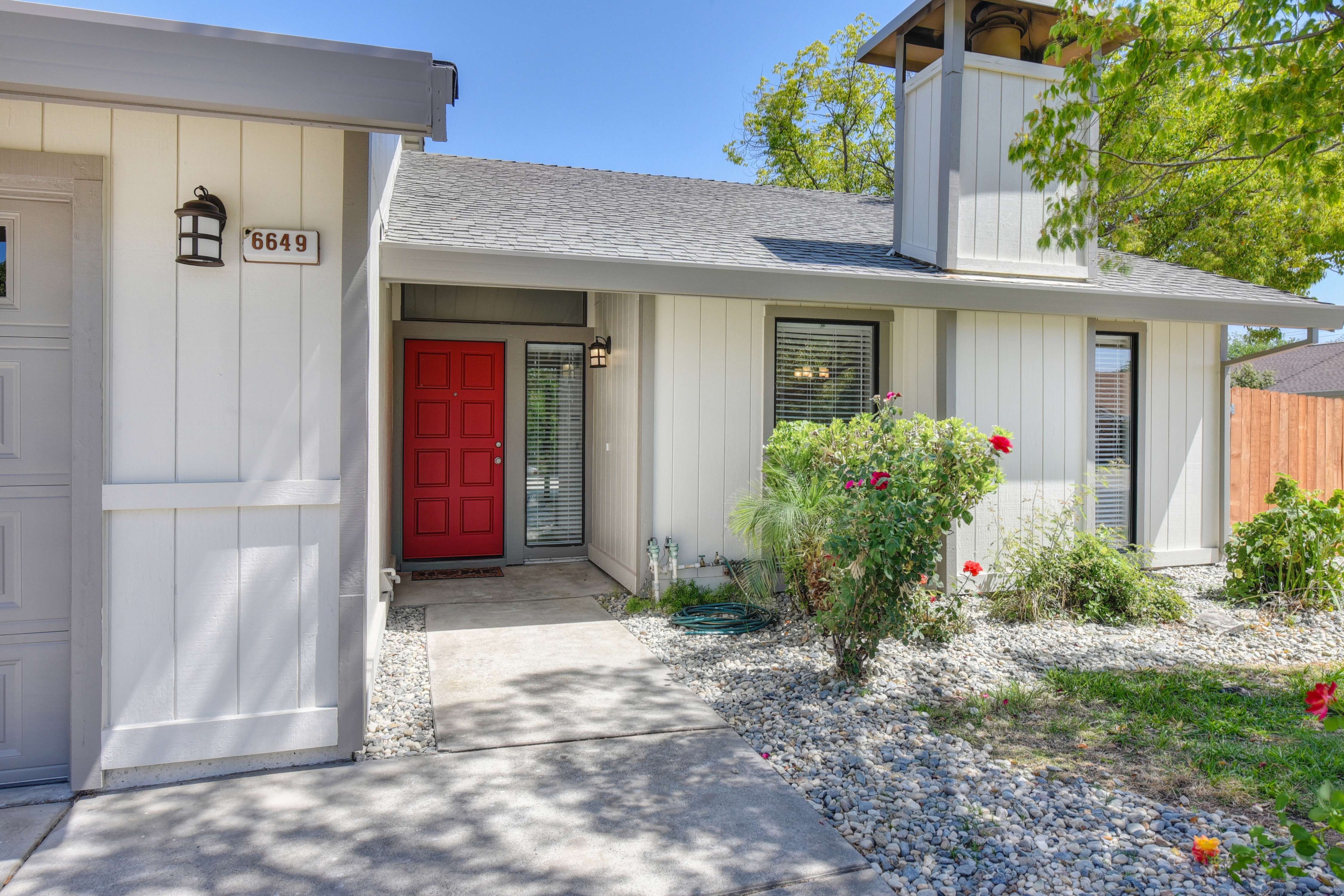
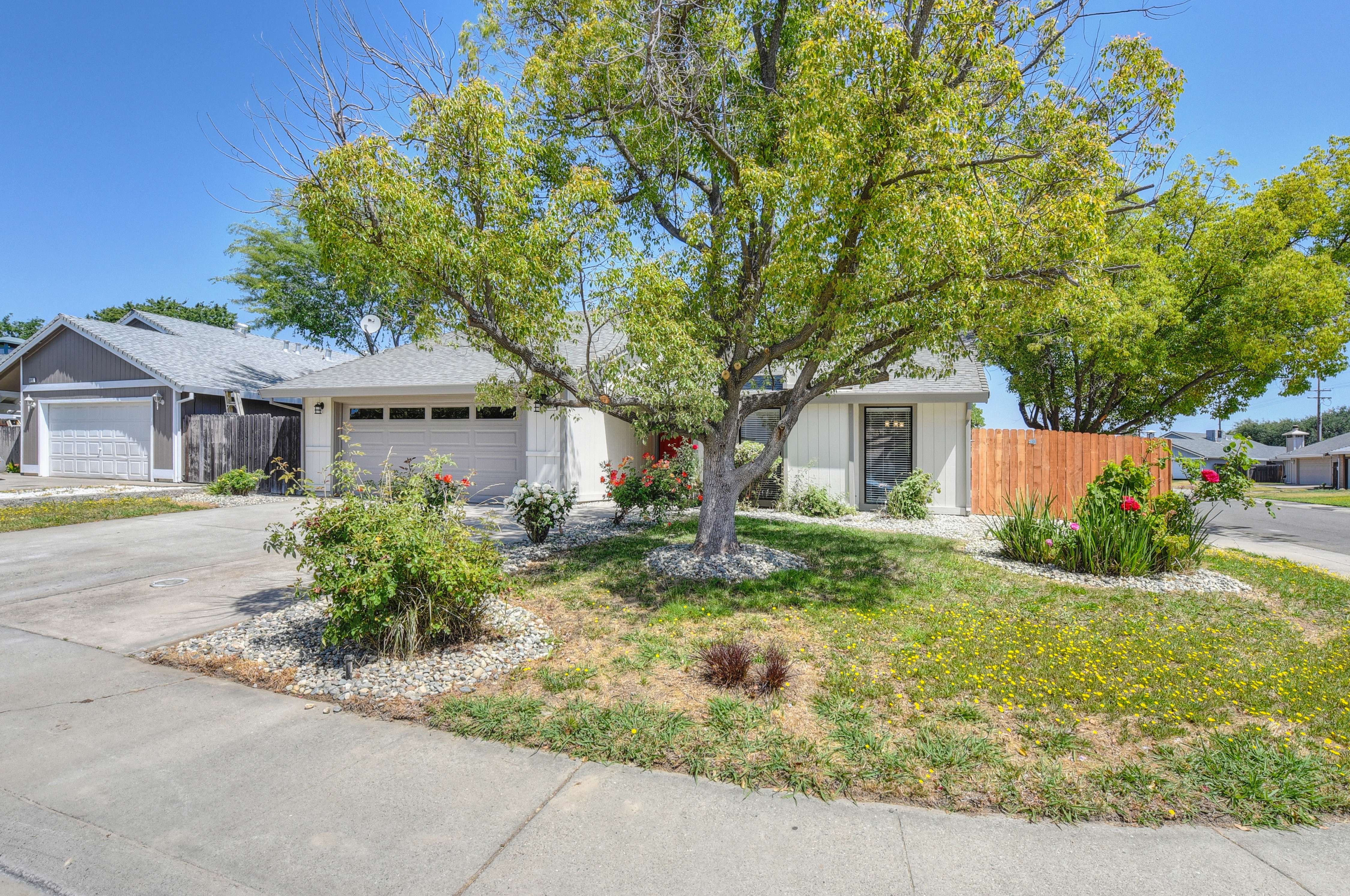
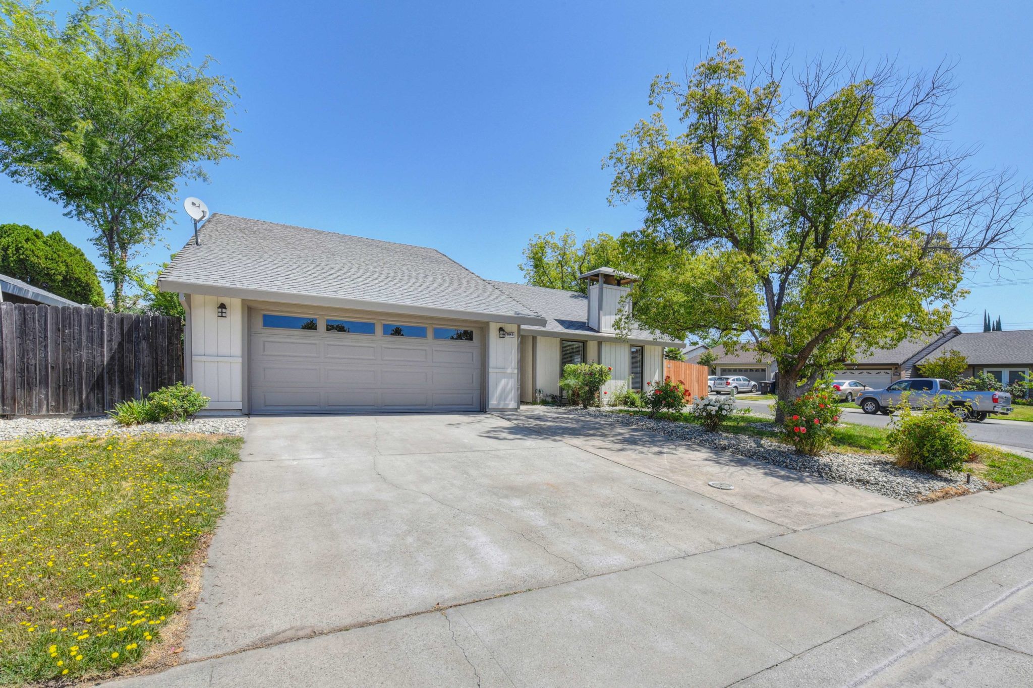
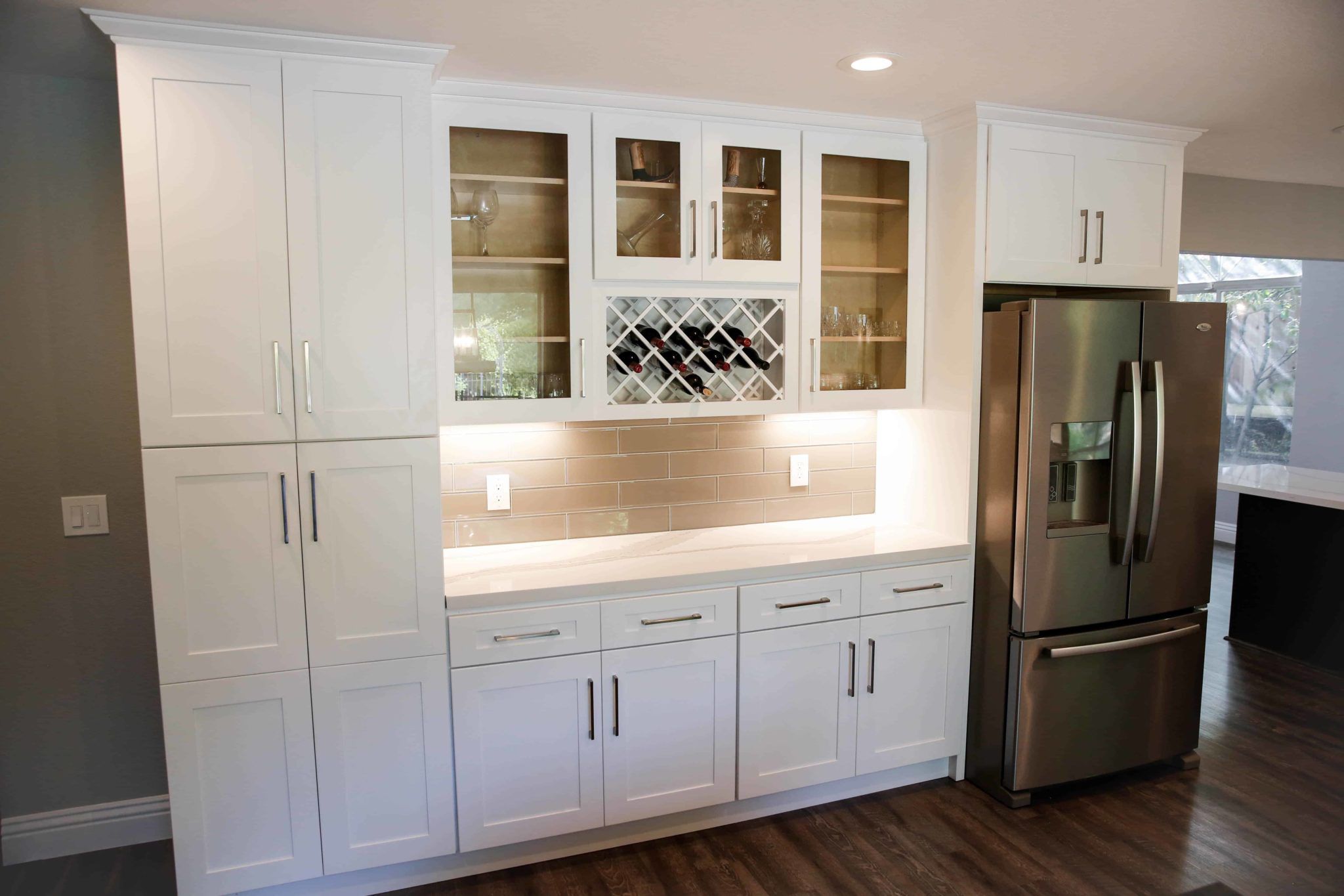
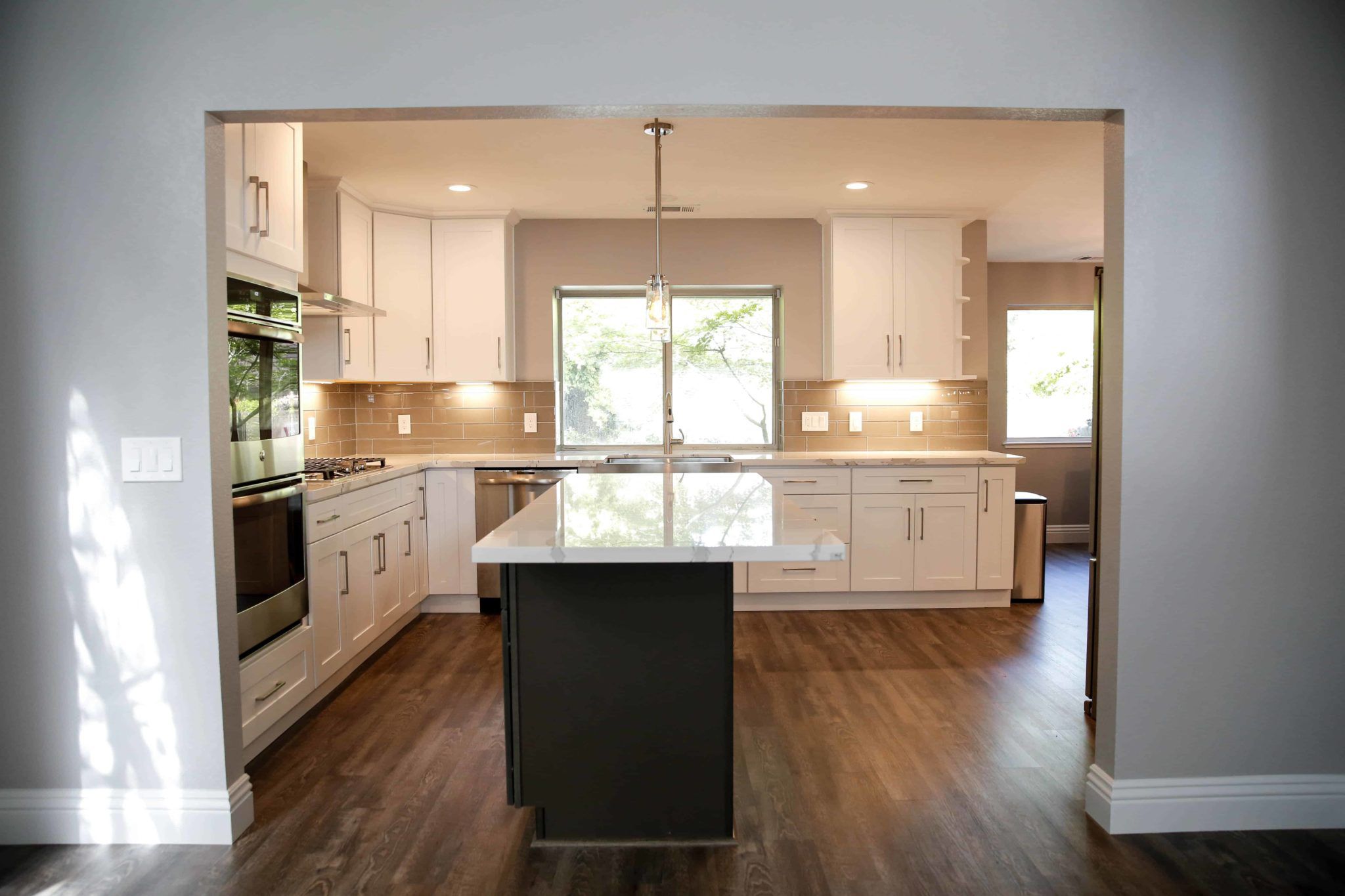
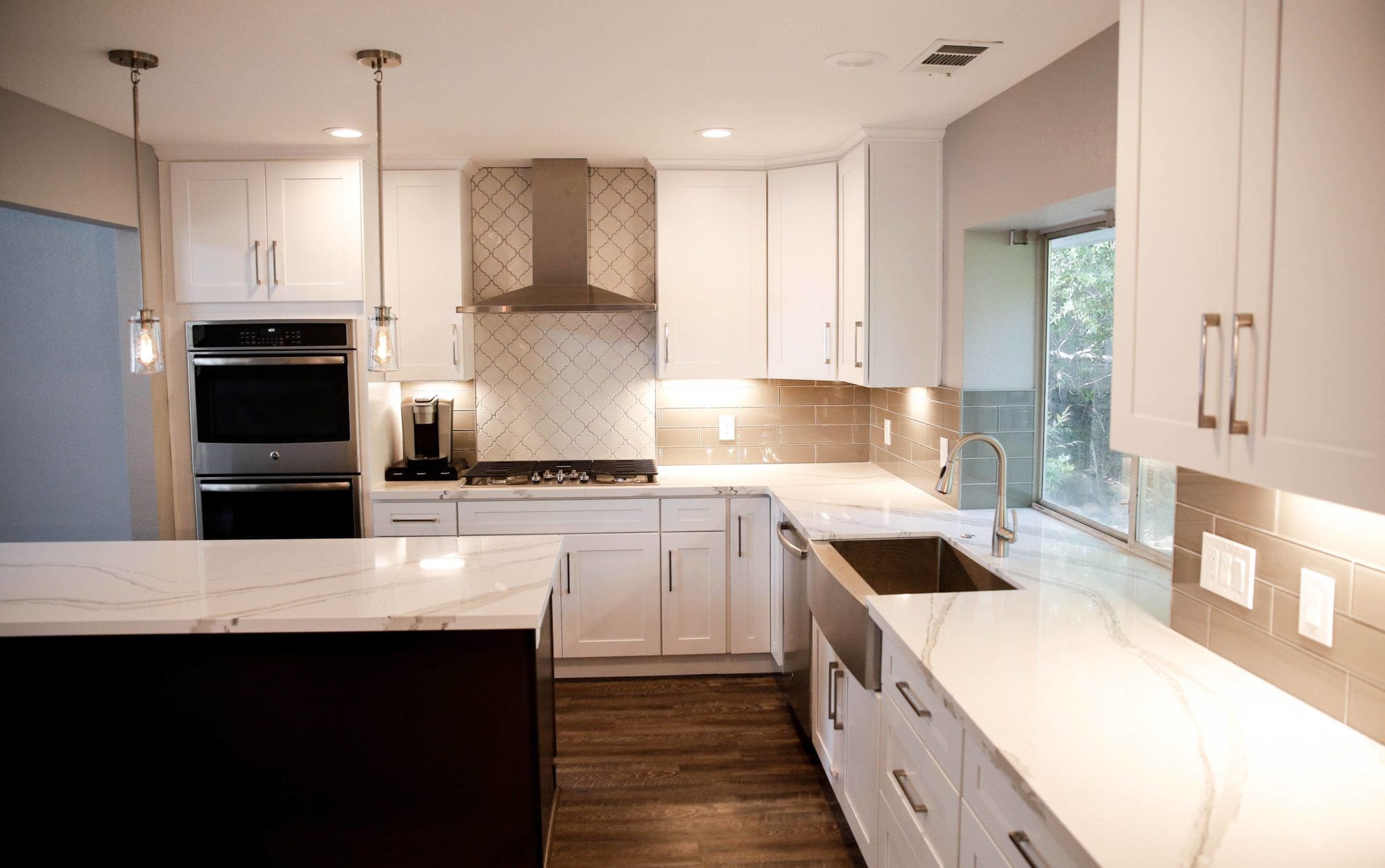
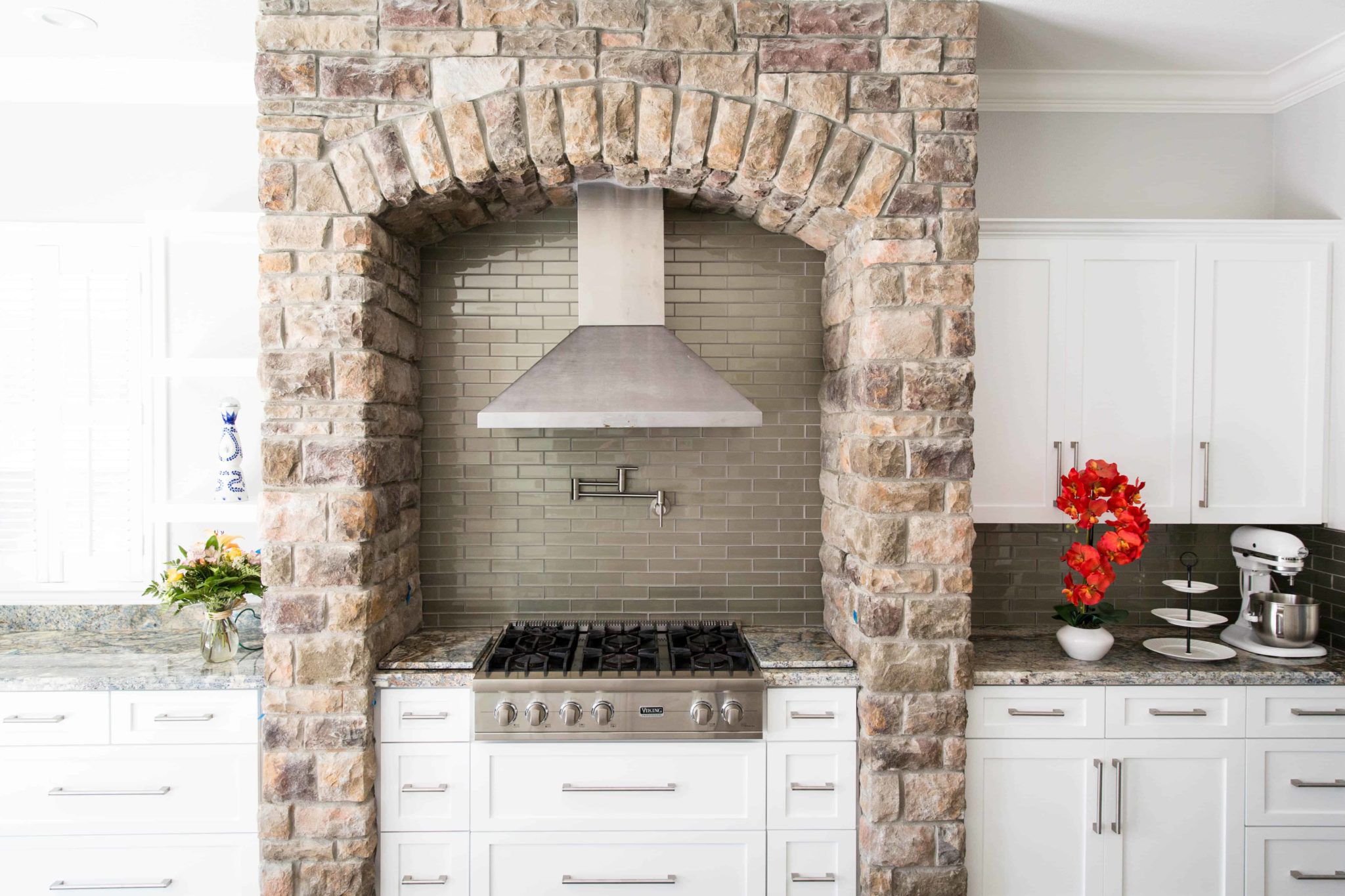
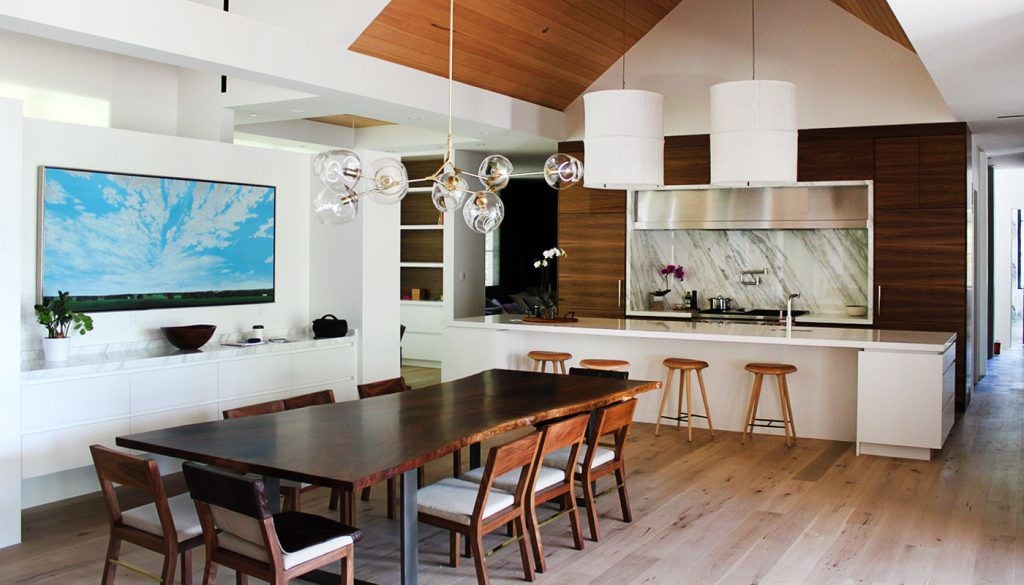
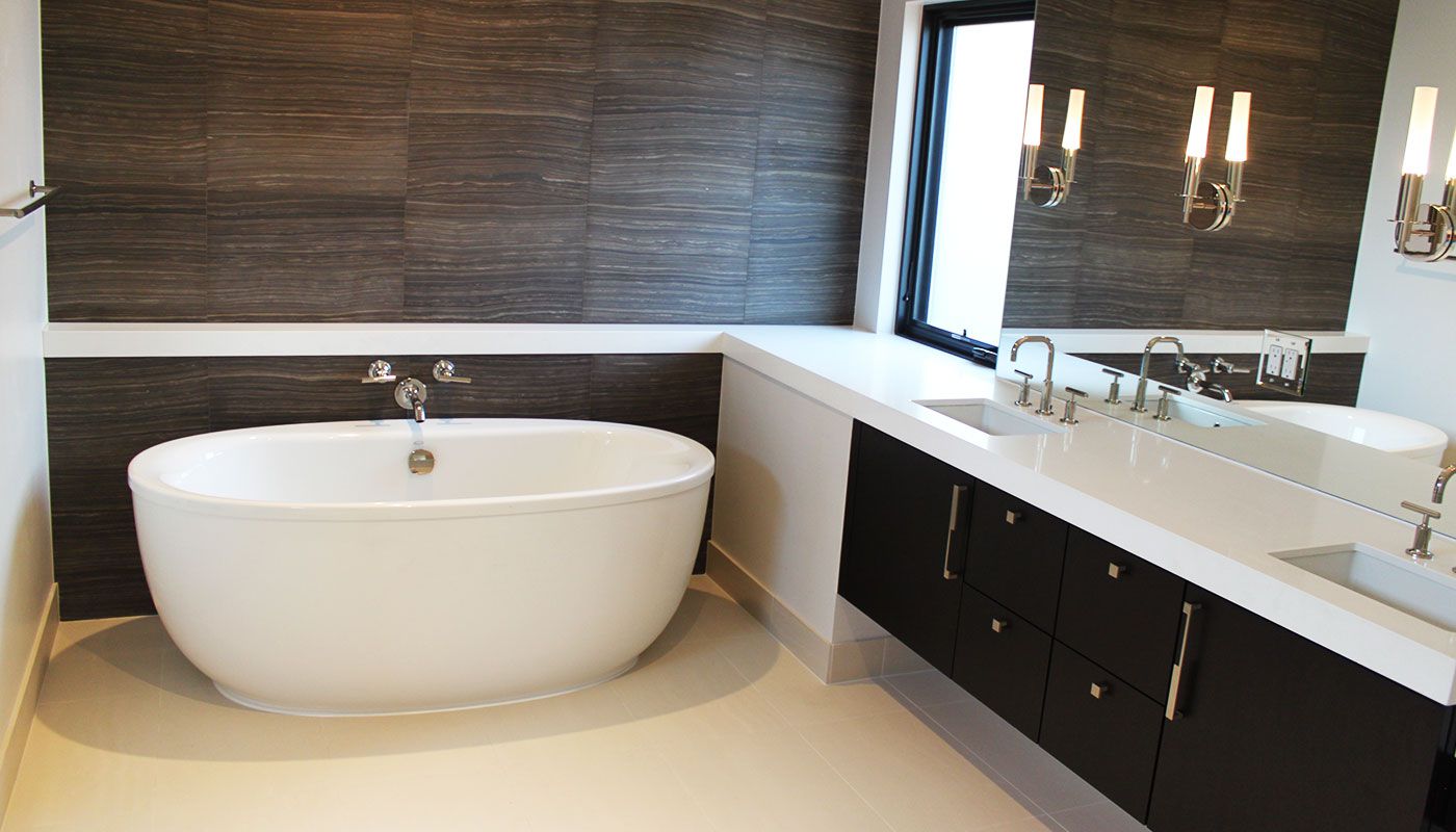
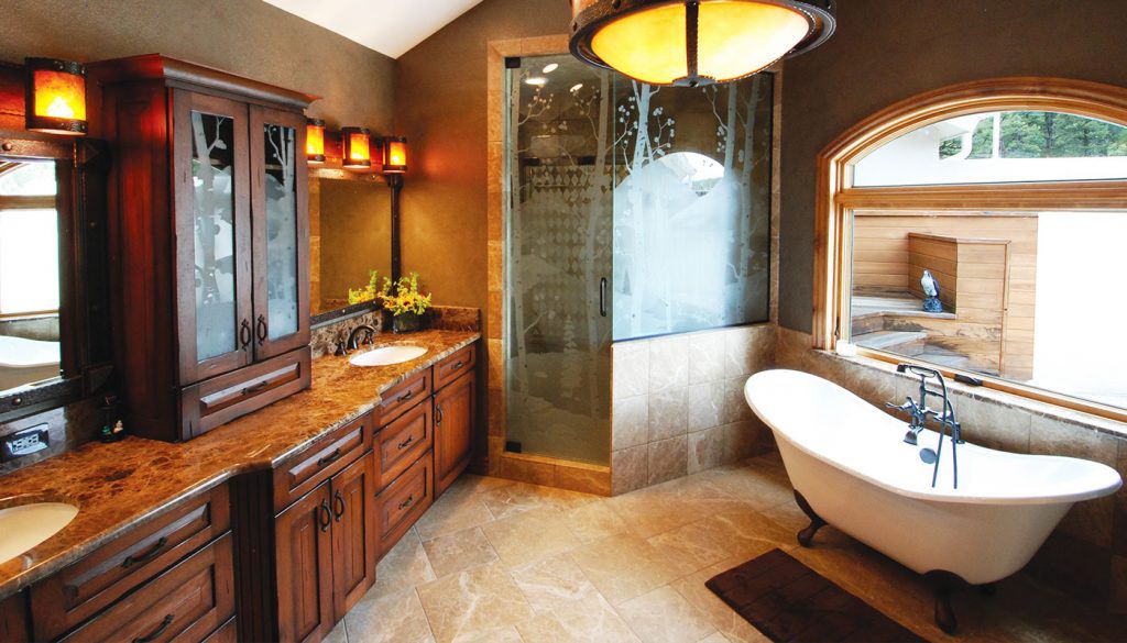
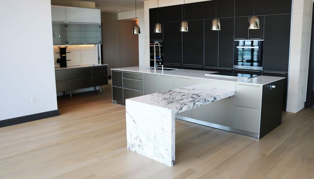
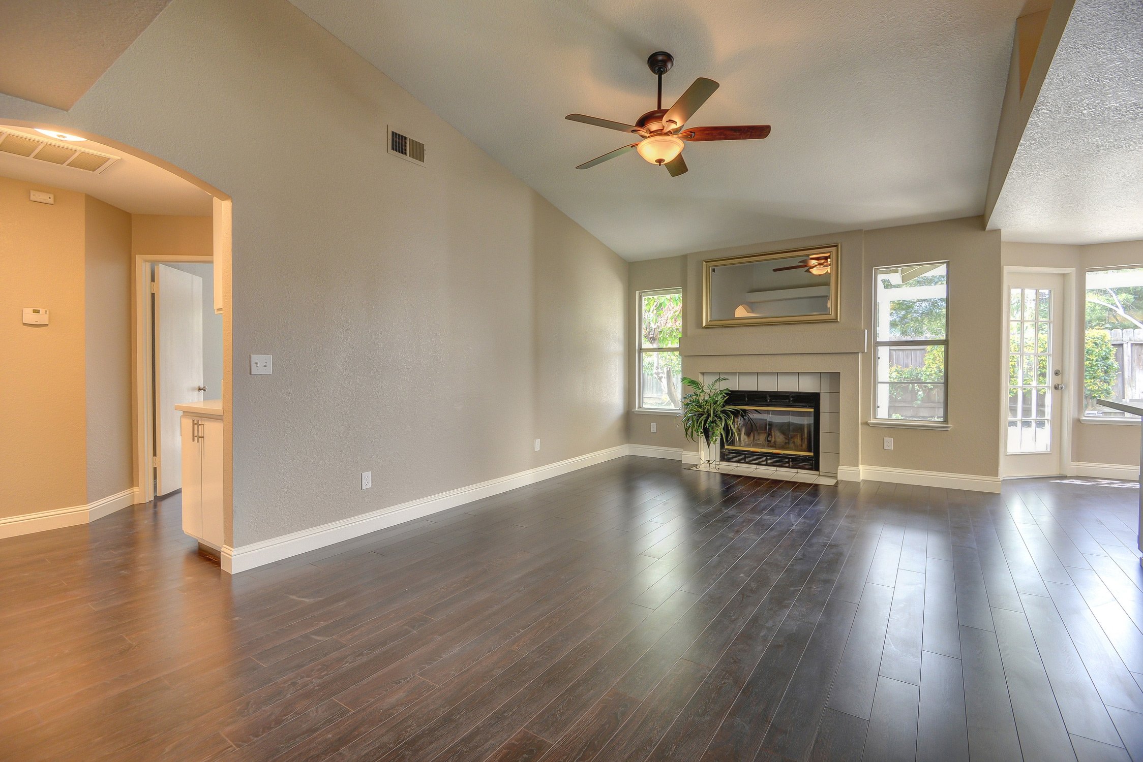
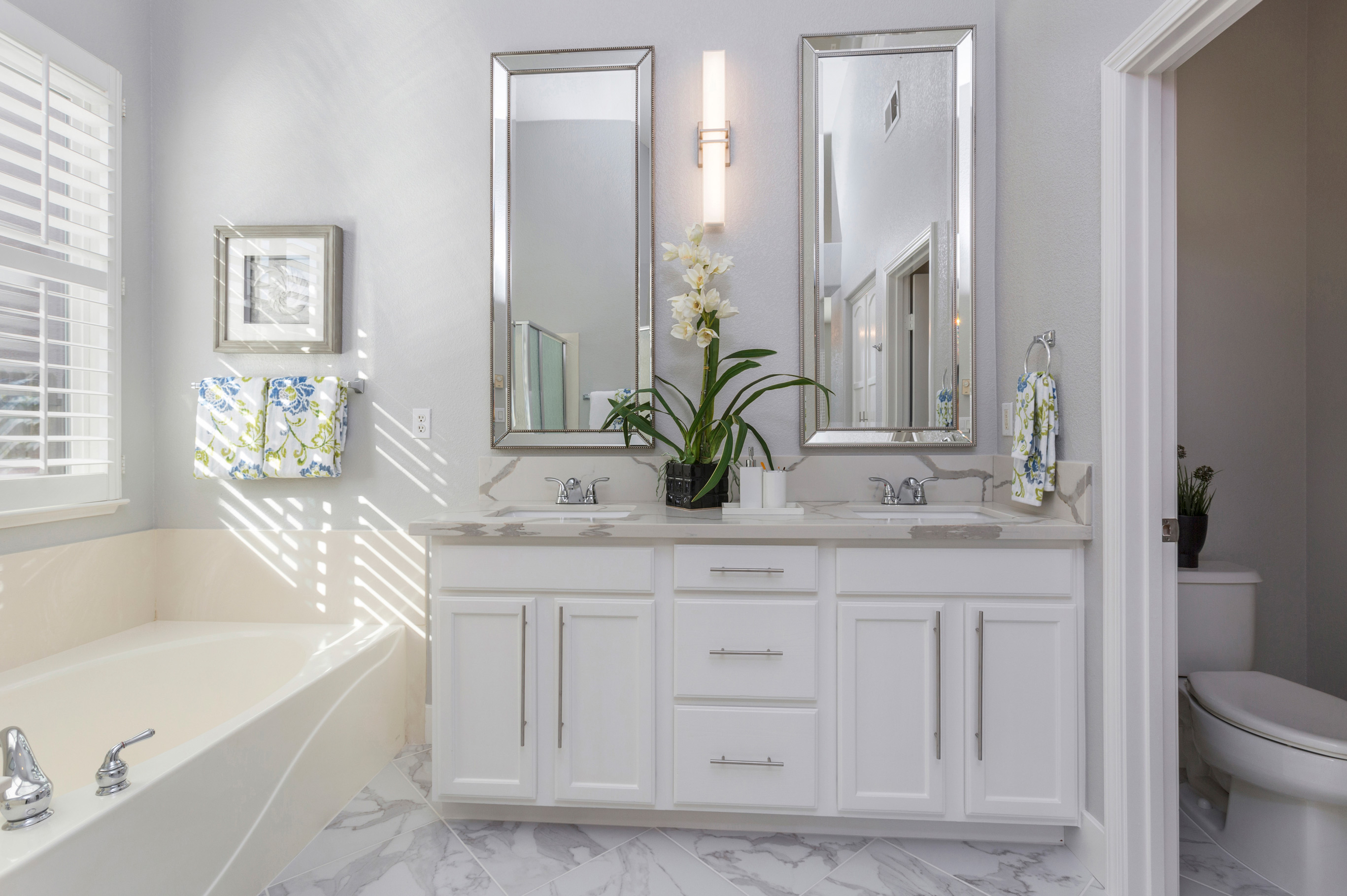
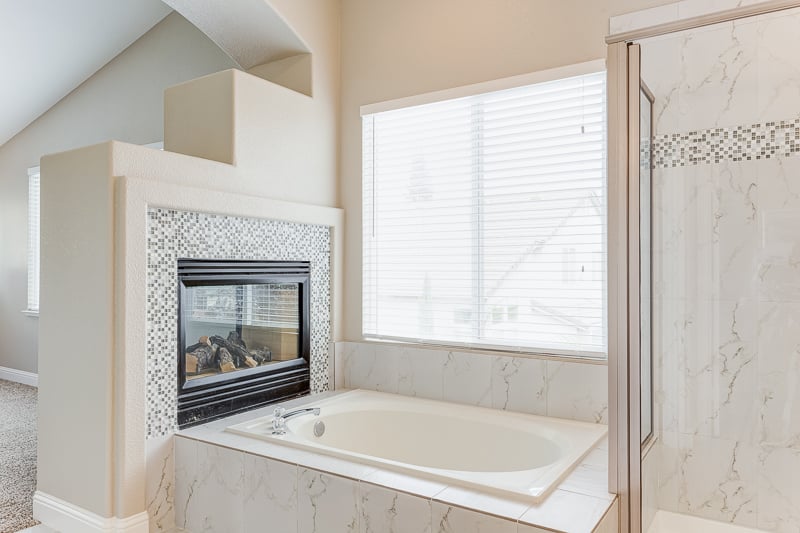
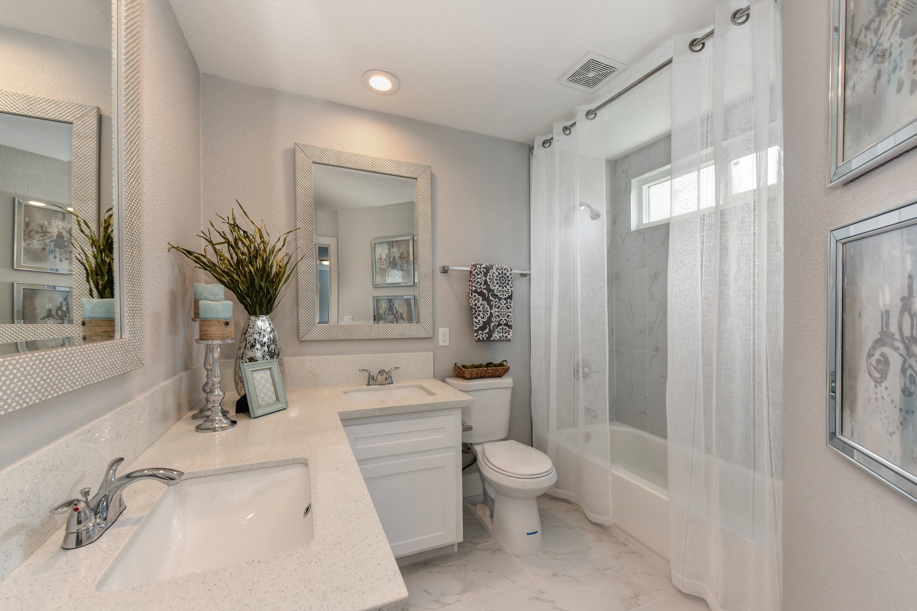
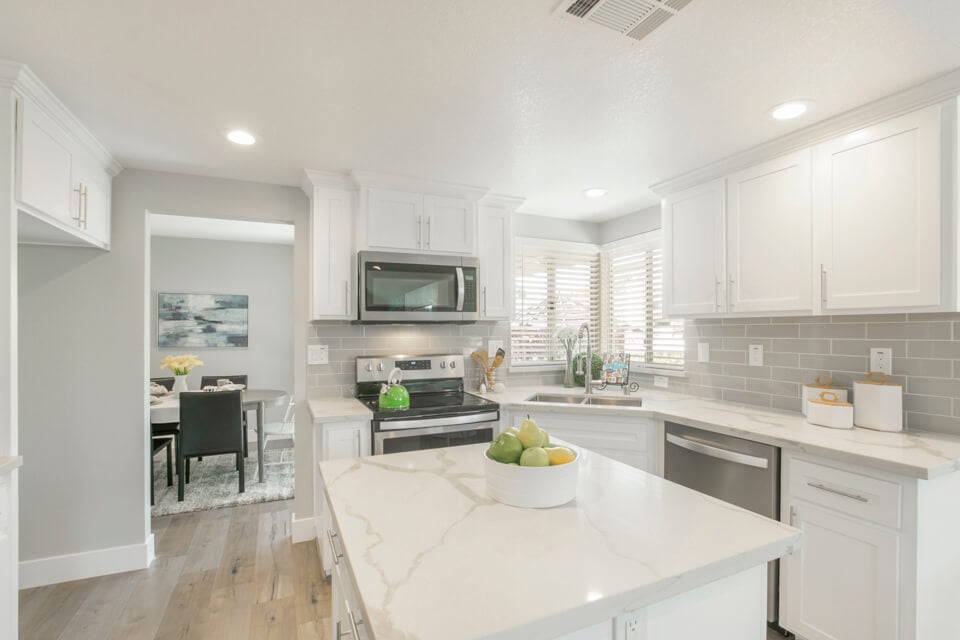
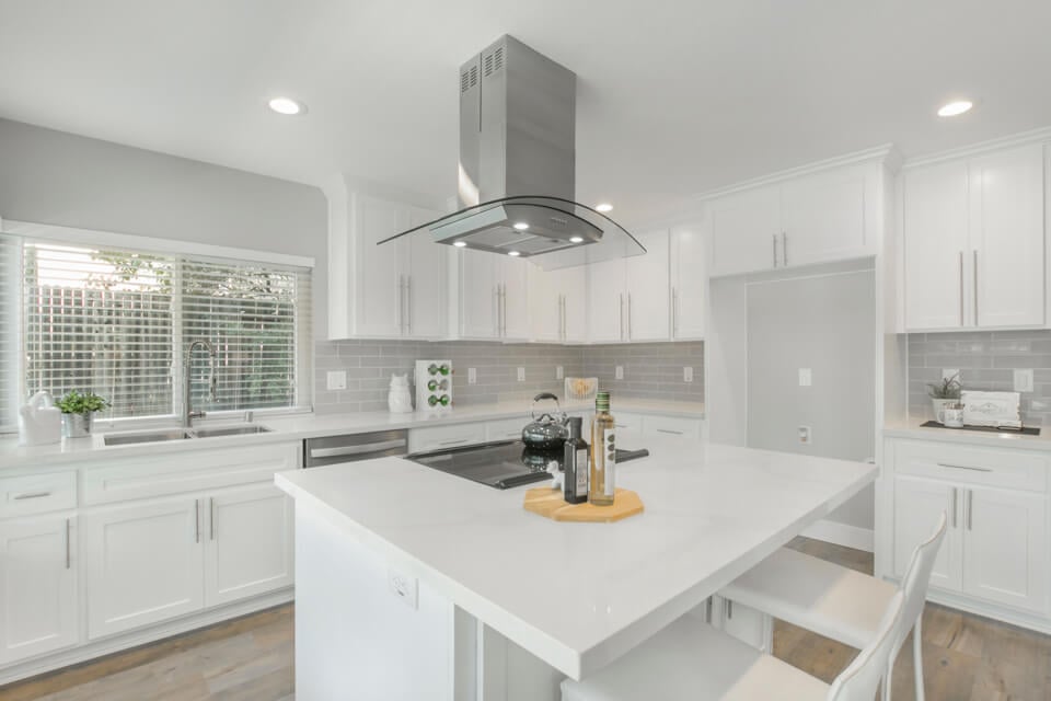
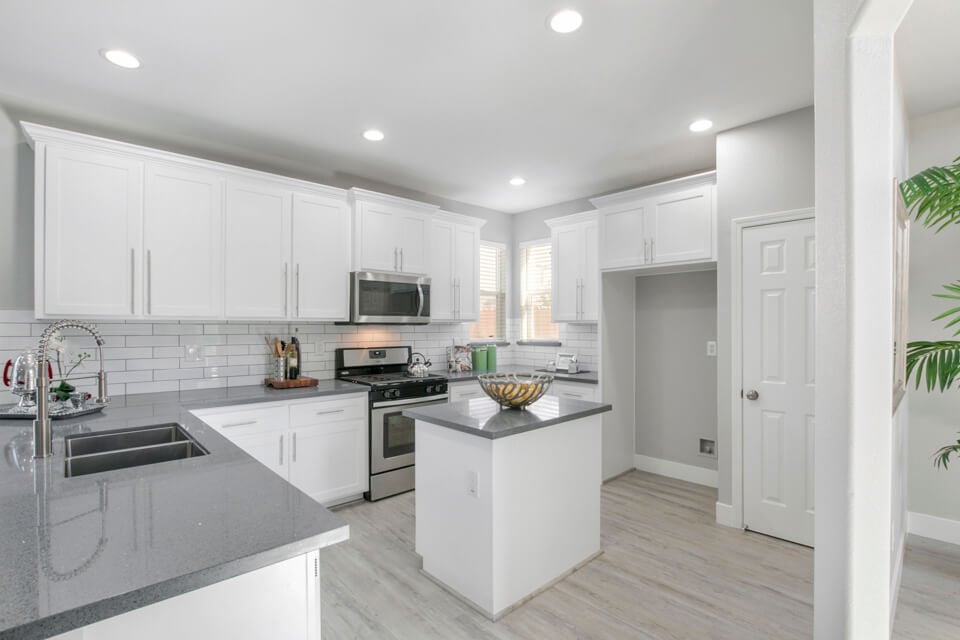
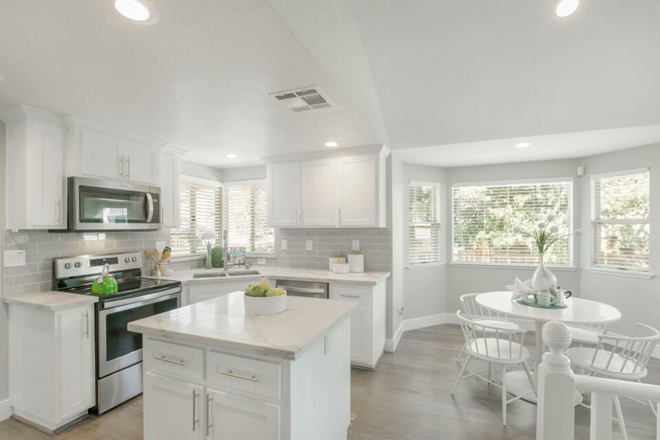
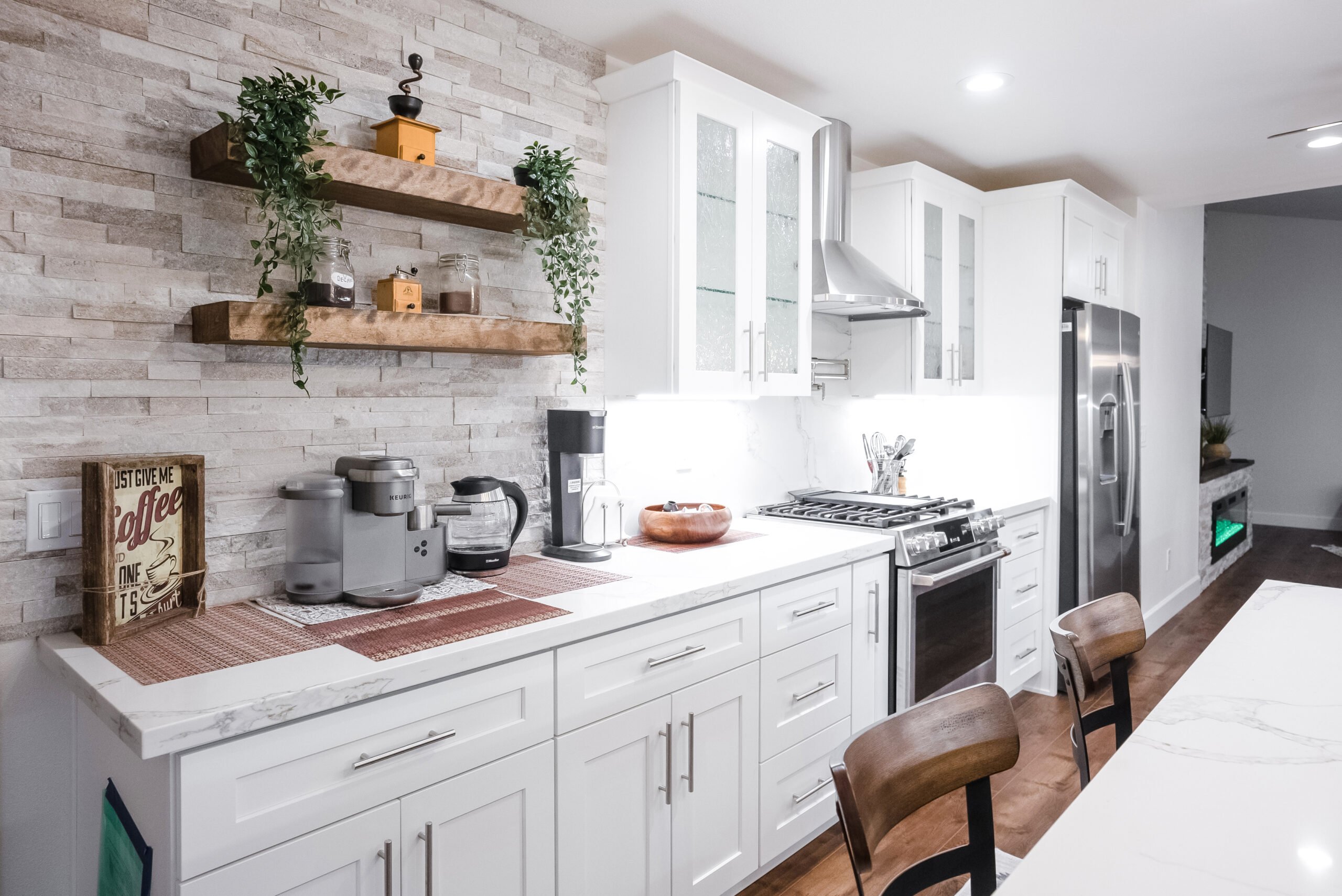
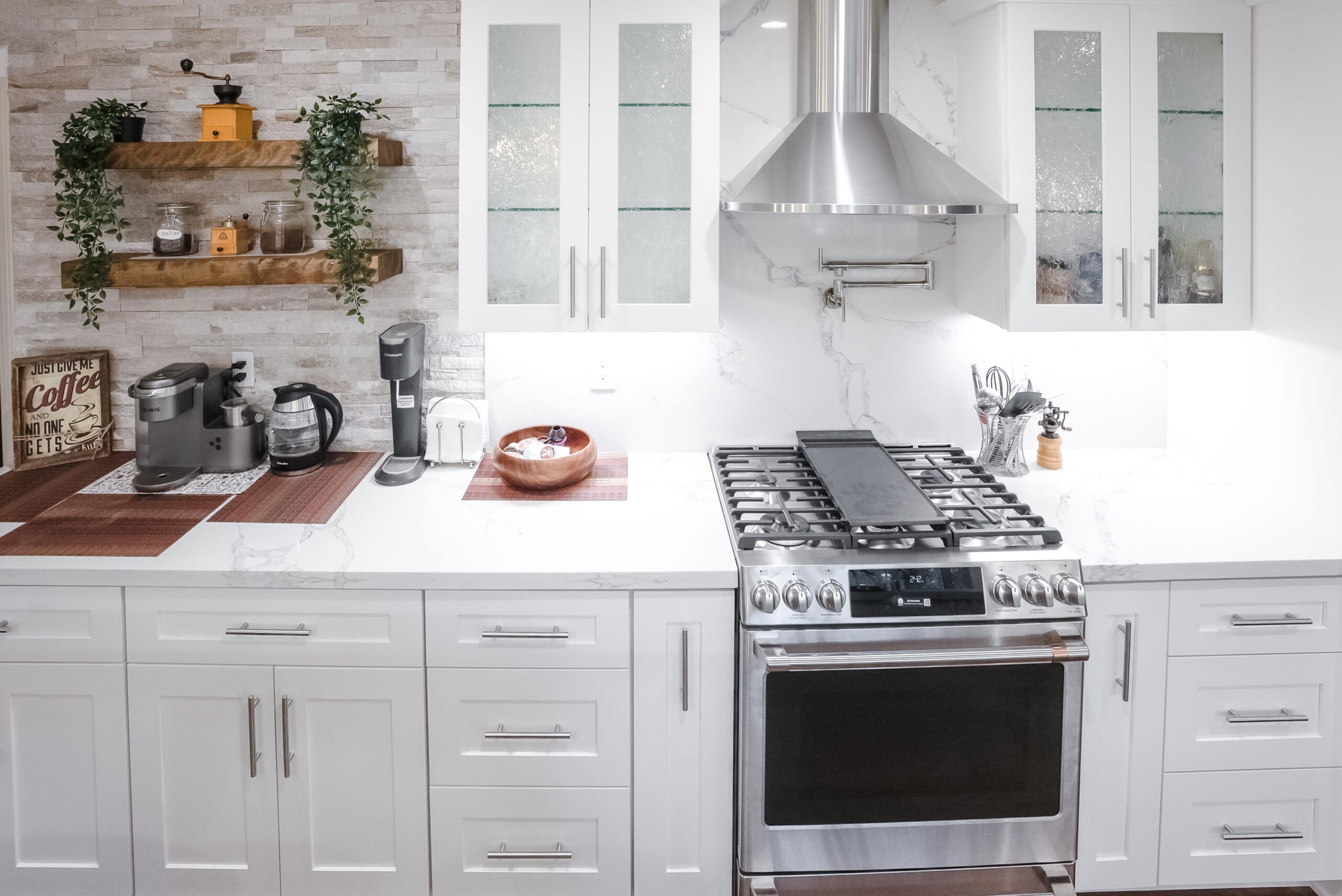
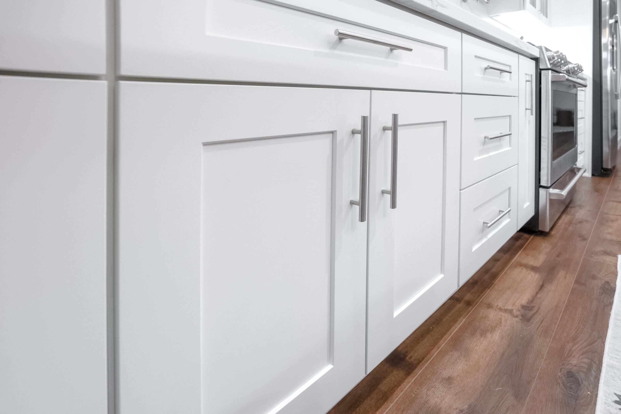
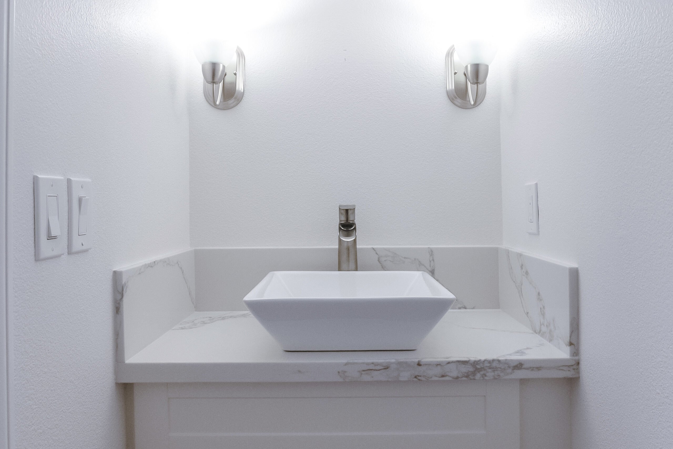
For the best home remodeling Sacramento has to offer, the choice is easy – turn to America’s Advantage Remodeling. We offer an assortment of home improvement services to Sacramento-area residents, and have built our reputation over more than 20 years. Whether your kitchen, bathroom, or the entire house need attention, we can help. We’d love to hear from you today!
LEarn More